Home
Day 0
Day 1
Day 2
Day 3
Day 4
Day 5
Day 6
Maps
Photos
Everglades Canoe Trip ![]() January 2002
January 2002
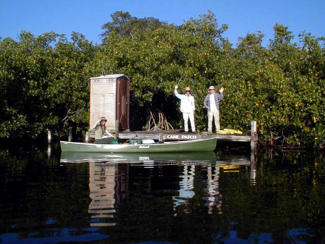
Canepatch to North River Chickee
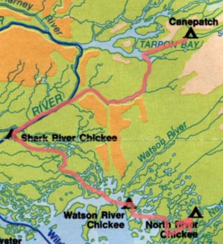
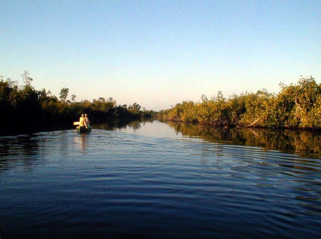
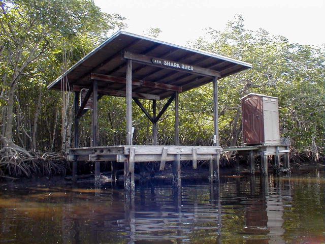
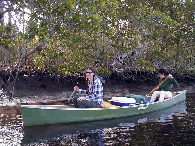
This was our second chance to boomerang with the tides. From Canepatch we preceded into a branch of the upper Shark River (moving with the current). We quickly rejoined the motor route and saw a few boats pass by upstream. We stopped for lunch at the Shark River Chickee, which is located a few hundred feet up a side channel.
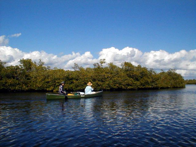
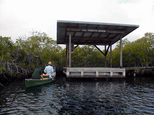
Just as we were getting back into the canoes the tide turned and our side channel began to flow upstream. <smile> We then spent a pleasant hour or two negotiating the myriad small channels and ponds leading us back the Watson River and Whitewater Bay. We reached the Watson River Chickee about 3pm and almost elected to stay there. As it turned out we made a better choice and proceeded up the North River to the chickee there.
The North River Chickee was the nicest one we stayed at. The water was nearly fresh and the bottom conducive to swimming. Again we rigged up a rope ladder and refreshed ourselves. The chickee faces north so there was some shade. A light breeze kept the bugs at bay. This area was severely affected by a recent hurricane, there were no tall trees for several miles around.
Day 4