Lake Powell & Beyond 2020

Six Night Lake Powell Trip (Click Map to Enlarge)

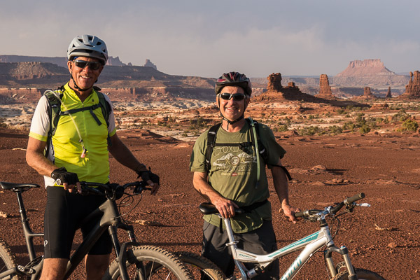
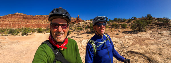
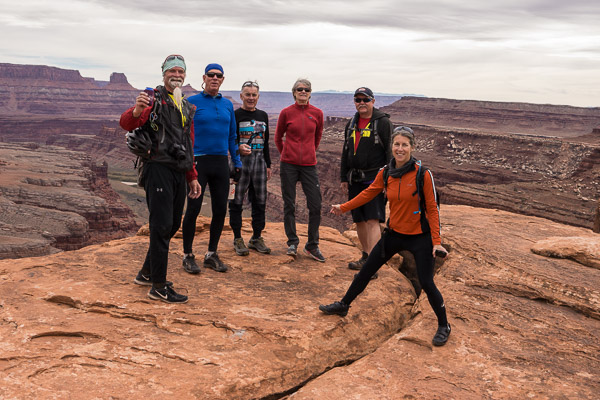
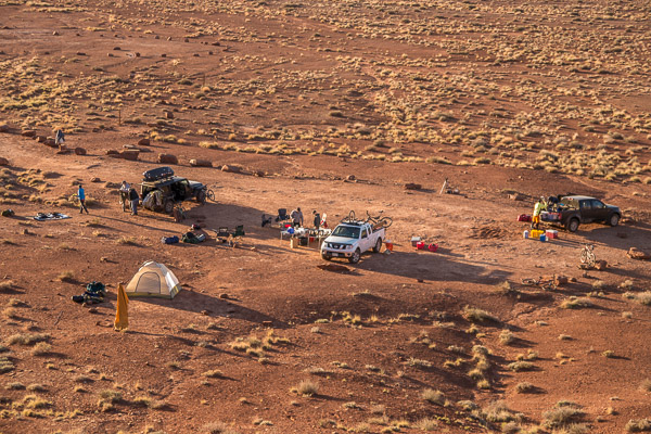
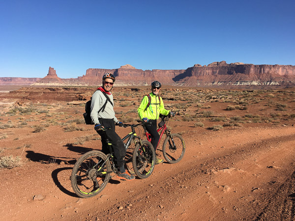
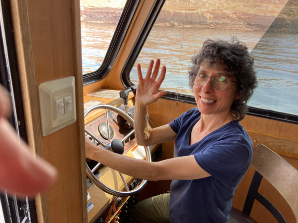
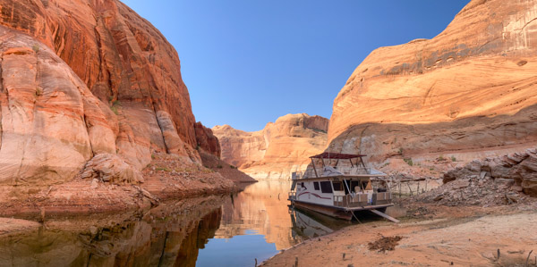
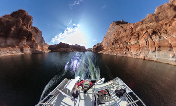
It had been ten years since I last visited Lake Powell. This year I went with my college friend Al and his partner Marian. [Full Gallery] Not having our own boat, we decided to rent a houseboat from the Bullfrog Marina. This turned out to be a great idea! With a few exceptions it was clean and well maintained (certain lights and the gas grill did not work). The main problem was how late in the day we got started (nominal “check in” time is 10am, we did not leave until after 3pm). For various reasons the day we left was very crowded (COVID19, low water facilitating small boat campers, last big week-end of the summer, etc.)

On Our Way!

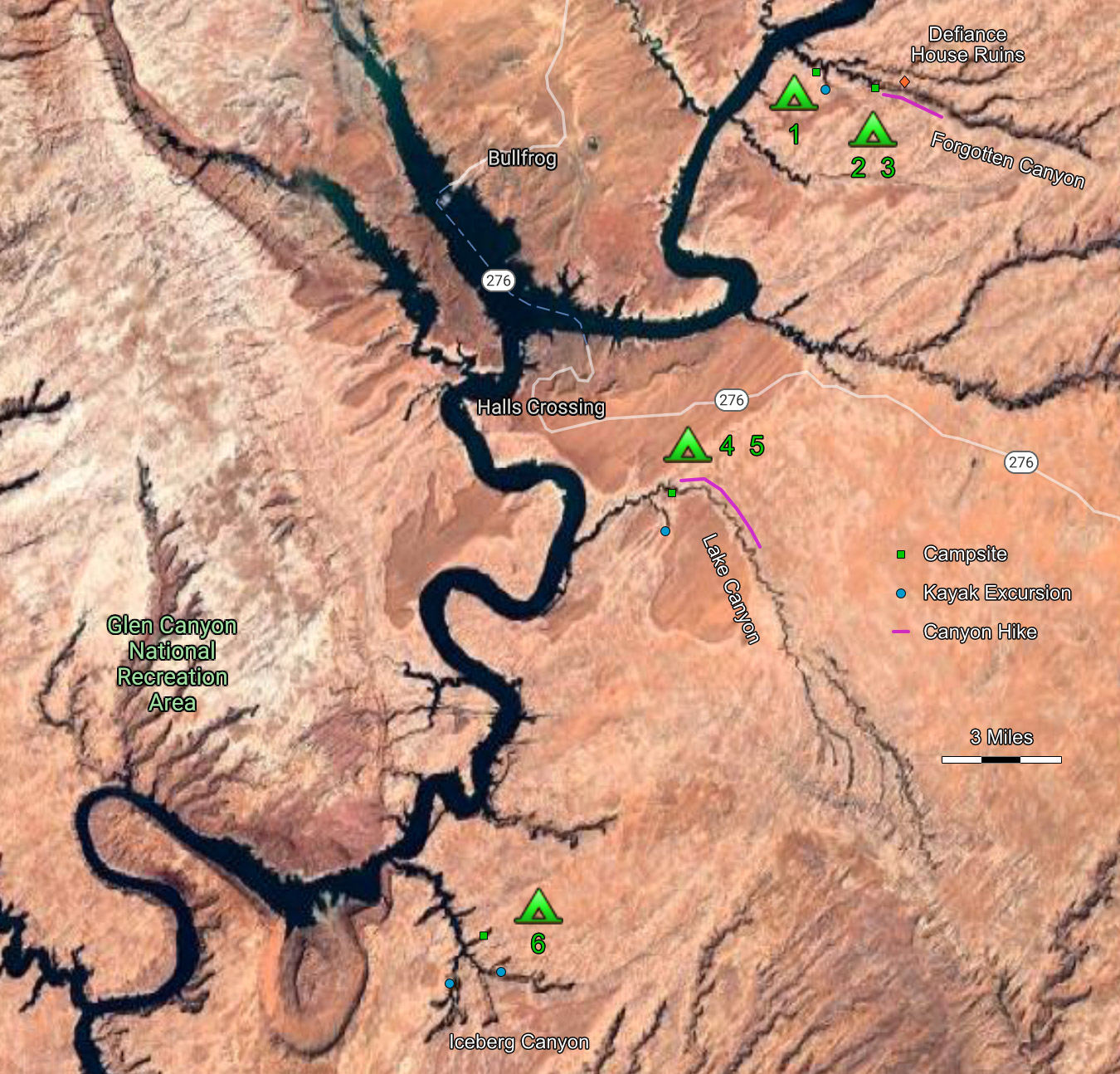
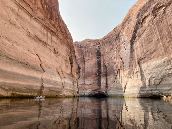
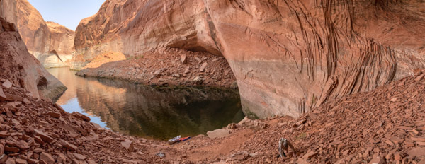
In the few hours we had on the first day we headed north to Forgotten Canyon. It was packed with small boats and large groups of people camped on the beaches exposed by the low water level. We retreated and found a small anchorage on a large bend near a side canyon (which we explored by kayak first thing the next day).

Our First Kayak Excursion
Alcove with 100 Foot Dry Waterfall Above

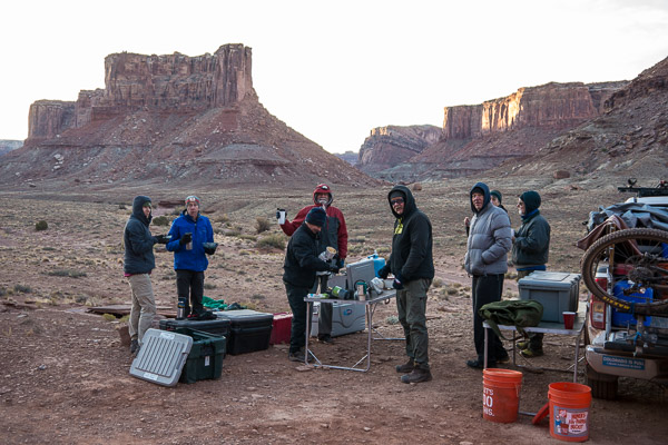
On Day 2 we moved back up the canyon so we could be closer to activities on land. [We were treated both nights to inappropriate music, bad karaoke and loud boat engines. I put in my earbuds and listened to Earth Spirit by R. Carlos Nakai (Native American flute) while sleeping out under the stars.]

Defiance House Petroglyphs

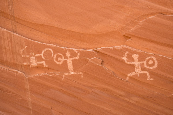
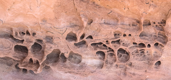
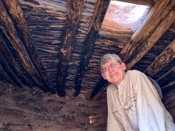
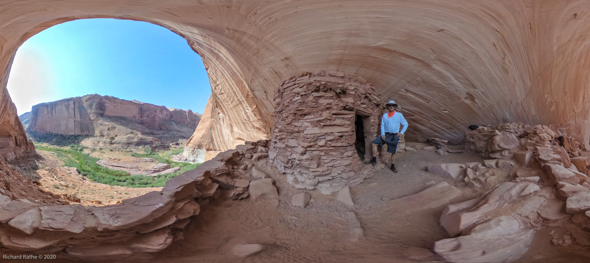
That evening (after most of the day’s heat was gone) we made the first of two visits to the eight hundred year old Defiance House Ruins. These are very well stabilized and open to the public. (Kudos to the Park Service!) The first thing you notice are the large petroglyphs on the canyon wall. There is no ambiguity as to their meaning… three warriors with shields and weapons.

Defiance House Main Structure

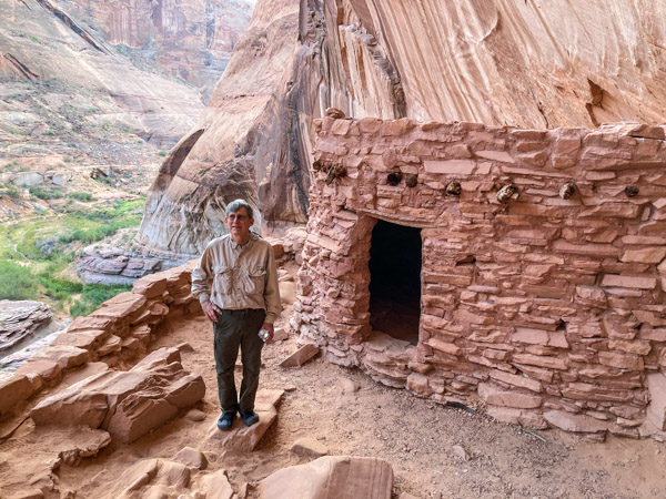
The site consists of two major rooms with doors facing in opposite directions. The largest is approximately 8-10 feet on a side. There is a patio beyond the structure with a vertical entrance to the Kiva. (Large Panorama)

Defiance House and Kiva Entrance (Click to Enlarge)
Kiva Ceiling with 800 Year Old Soot from Campfires

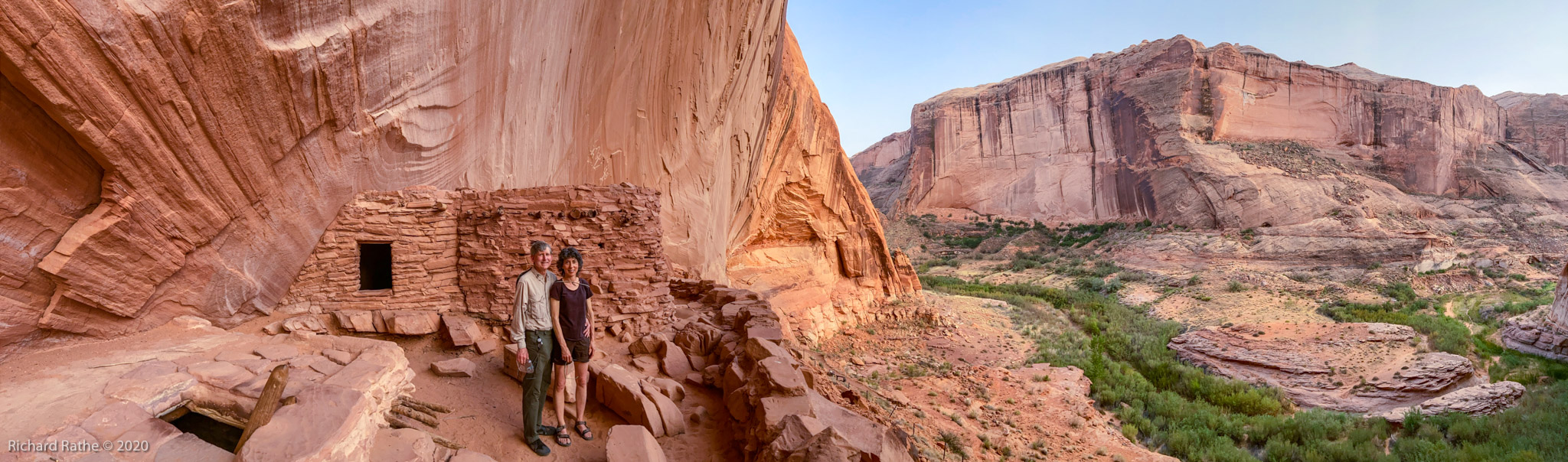
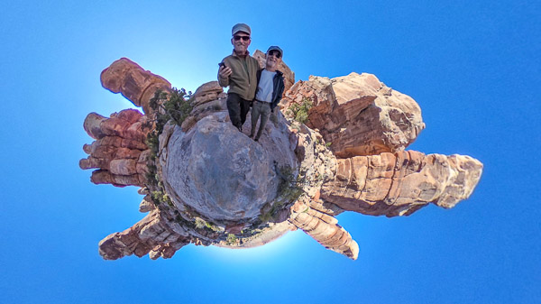
We returned the next day (Day 3) and I took some additional 360° panoramas.

Defiance House Ruins (Click to Enlarge)

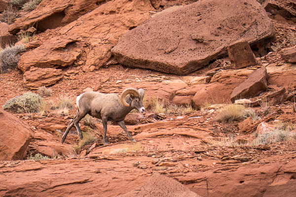
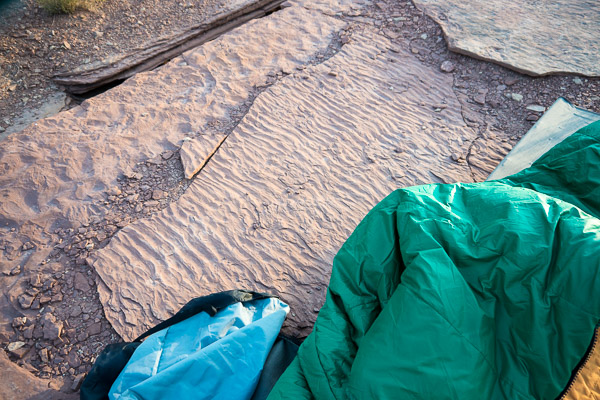
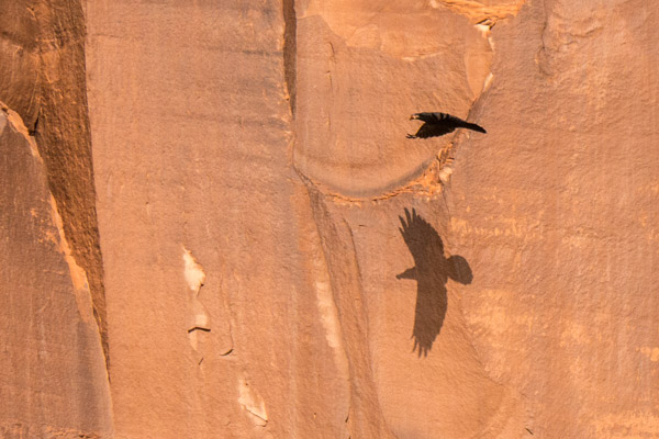
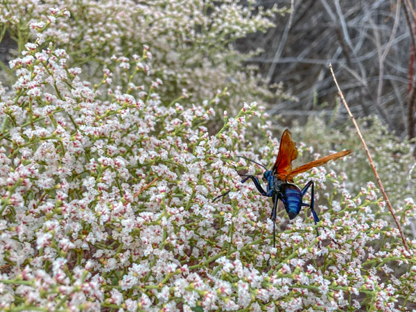
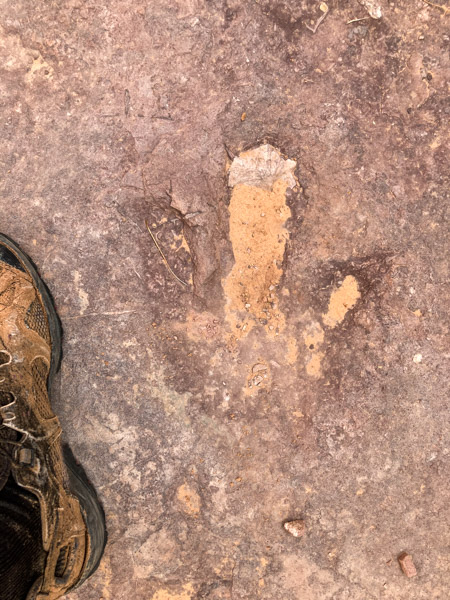
We then proceeded about two miles up the canyon. We saw many interesting things including ravens, flowers being pollenated (or eaten?) by large black hornets with orange wings, and what I think were three-toed dinosaur tracks!

The day was very hot so we took a siesta near a grove of small oak trees before we headed back to the boat. In spite of my best efforts I got dehydrated. The temp was in the low 90s with very low humidity. It just sucked the water out of me!

On Day 4 we left that area to do more exploring. We ended up in Lake Canyon (which apparently is a very hard place to find anchorage with higher water). It was less crowded and the people were more considerate, which was a plus. We again used our inflatable kayak to explore a side canyon in the late afternoon.

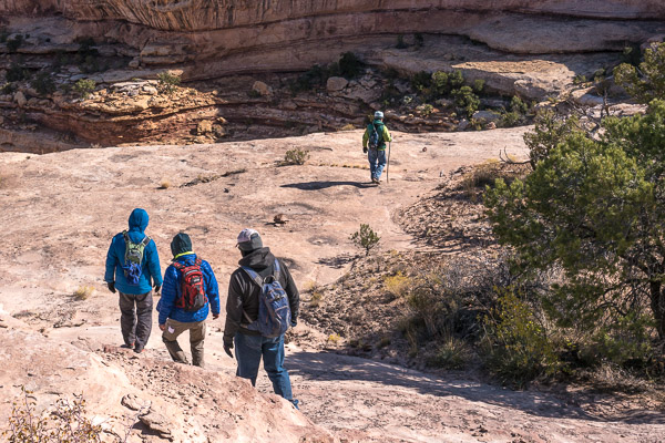
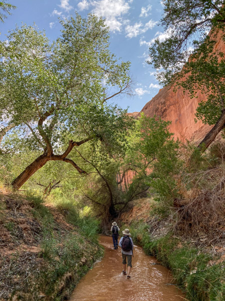
On Day 5 we headed up the main canyon in what turned out to be a delightful wet-boot hike. It was very pleasant to have running water available at all times!

Upper Lake Canyon

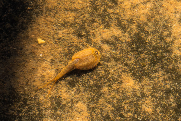
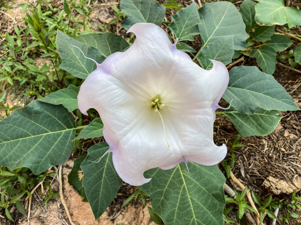
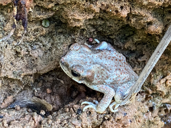
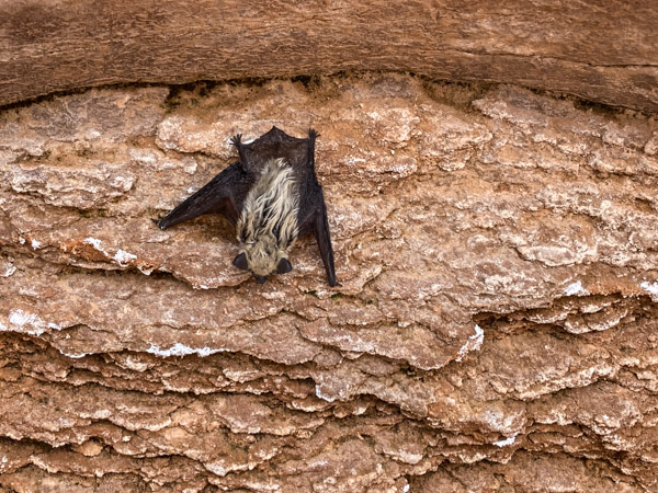
There were lots of trees and flowers in bloom. We saw several critters including a toad (red-spotted?) and a bat (dead?). We also passed a small ruins high on the canyon wall.

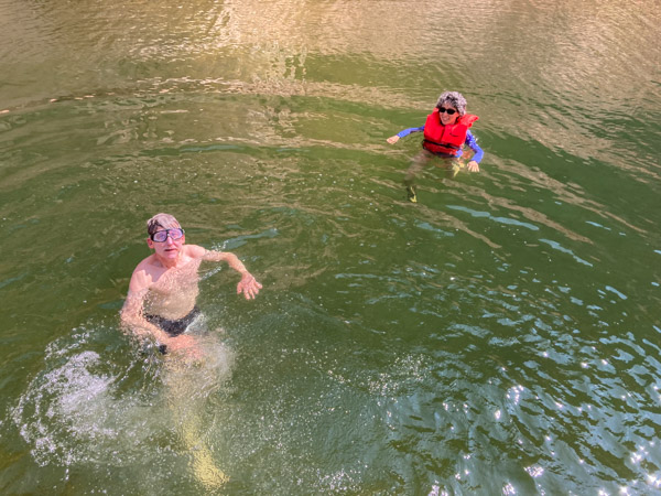
On Day 6 we again picked up our anchors and moved to Iceberg Canyon with its cyclopean rock walls—Truly Magnificent! Here we finally found some real solitude in our own little side canyon where we swam and relaxed.

Iceberg Canyon Campsite

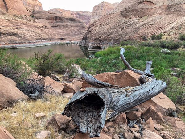
We took out the kayak and explored the three arms of the upper canyon. We had to maneuver around hundreds of dead trees protruding from the low water.

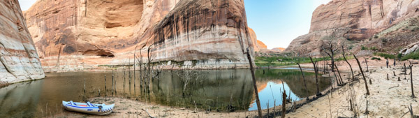
The south arm has a rockfall that created a separate small lake. Compare with these photos [1] [2] I took in 2010 to see how much lower the water is.

The next day we headed back to Bullfrog and civilization. Click on the video below for clips from each canyon we visited.

Leaving Iceberg Canyon

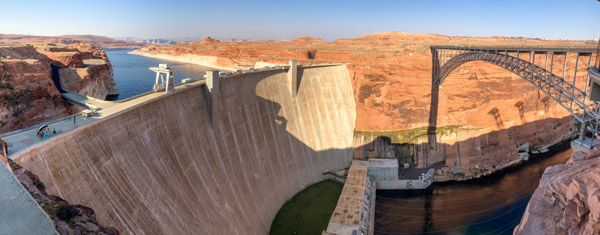
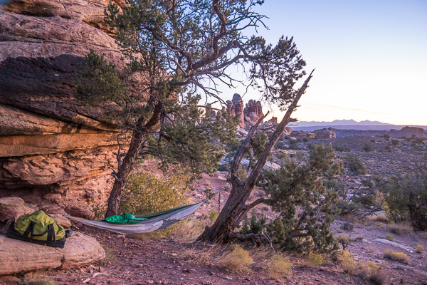
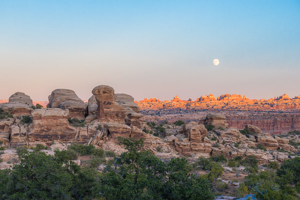
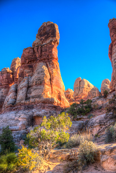
See the Full Gallery for more photos of petroglyphs, HDR photos, and panoramas–including my lightening tour of nearby parks Goblin Valley, Capital Reef, Grand Staircase-Escalante, and Bryce Canyon. I concluded by crossing the Colorado River at the Glen Canyon Dam (which creates Lake Powell!).

Mountain Bike Trip to The Maze 2019

It would be hard to top our 4WD/bike trip to the White Rim in Canyonlands National Park last year, but entering the isolated subunit called The Maze was a strong contender! [Gallery]

Glen, Richard, Jeff, Bren, Bill, Rick
source:nps.gov (click to enlarge)

This was not a loop trail, but a very challenging, out-and-back trek to the edge of the Colorado River Canyon. We spent most of the first day just getting to the trailhead on the extreme western edge of the park and establishing our first camp at Happy Canyon. I pitched my hammock between a juniper and a pinyon pine and was rocked to sleep by the wind all night.

The riding got serious the next day going down the face of the Orange Cliffs on the Flint Trail.

It was very steep and difficult even for the vehicles. I did a lot of walking. Things only got worse the rest of the day with loose rocks, sand and drop-offs. We met a county employee with a huge 6WD Grader who was actually maintaining the road (“every seven years whether it needs it our not”). When we told him where we were headed he laughed and said “We haven’t been back there in thirty years!”

The area around Teapot Rock was especially challenging, requiring spotters and backing up around impossible corners. Late in the day we finally made it to the Land of Standing Rocks, a windswept plain punctuated by fantastic rock formations receding into the distance. It was magical!

Jeff & Rick at The Wall

We camped about an hour before dusk at Chimney Rock. It was cold and windy but we made the best of it with G&Ts and hot food prepared in a Dutch Oven by Glen.

The next day we went for a long, meandering hike following the canyon rim.

We saw many strange and beautiful things including odd box-work erosion patterns in the stone. They looked like apartment complexes for tiny people!

On our return to camp we relaxed with a caprese salad, beer, & G&Ts before a multi-course dinner. Hard to beat! That night it got down in the 20s but fortunately the wind died down.

Bill, Rick & Jeff at Chimney Rock

The next day we headed down the relatively easy road to The Doll House. Along the way we met at pair of hikers who had crossed the Colorado River from Spanish Bottom in Inflatable Kayaks (!) that they had in their packs! They planned to hike upriver and paddle back to their car on the other side. Amazing!

The Doll House is an area of huge striped rock towers with little doll-like figurines on top. The formation is an extension of The Needles region immediately across the river.

We camped at site #3 on the opposite side with spectacular views!

I found a perfect place to hang my hammock between a boulder and an old juniper tree. Room with a View indeed!

Moon Rising Over Colorado River Canyon & The Needles
Richard & Bill in the Valley of the Dolls

On the fifth day, alas, we had to turn homeward. I had a great time cycling several miles with Jeff as we retraced our route. We did not climb back up the Flint Trail however, exiting near the tiny town of Hite on the extreme upper end of Lake Powell. It was a spectacular trip!

White Rim Trail 2018

I recently returned from a backcountry bike trip on the White Rim Trail in Canyonlands National Park near Moab Utah. [Gallery]

The Back Road to Moab

We were a mixed group of twelve riders with three high ground clearance support vehicles coming after us. We started near the visitor center and camped four nights along the trail.

source:nps.gov :: Click to Enlarge

First we headed down the steep Shafer Trail to get onto the White Rim proper.

Shafer Trail

Chuck, Jeff, Rick, Miki, Glenn, & Carol

The “White Rim” is actually a geologic layer that is resistant to weathering as you can see in the aerial photo below.

source:google

The first night’s campsite didn’t look like much. There was no soil, only gravel or hard rock.

Airport Tower Campsite

Fortunately I brought a lightweight folding cot and stayed comfortably six inches off the ground!

The next day we saw a group of Desert Bighorn Sheep in the distance. Later this solitary ram walked nearby.

Desert Bighorn

I rented a decent bike for the trip with front and rear suspension and disk brakes. I only took one fall (going too fast through a sandy patch). Going uphill was a bitch! I walked a lot…

Me with Trip Organizer Bill Sedgeley

The “John Elway” Rock (#7)

Me, Bill, Glenn, Rick, & Chuck

One of Many Small Arches

We came across many pothole depressions filled with rainwater (aka Ephemeral Pools). Incredibly there are small crustaceans called Tadpole Shrimp living there! They are considered living fossils.

Tadpole Shrimp Living in a Ephemeral Pool

The area is defined by the confluence of the Colorado and Green Rivers. Numerous dry wash valleys lead down to the rivers and contribute to the beauty and complexity of the place.

Glenn, Bill, Rick, & Jeff

We took a short side trip down a slot canyon.

Miki & Jeff in a Slot Canyon

Turning north we came down to the Green River on the third day. The color of the Cottonwood Trees was near its peak. The temp went down into the twenties that night, Brrrr!

Potato Bottom Campsite

We took a very interesting side trail to see Anasazi Ruins and an old trapper’s cabin.

Anasazi Ruins on the Fort Bottom Trail

We spent our last night in the presence of “Moses and Zeus” (interesting pairing!) in Taylor Valley. It is an extremely beautiful place!

Moses & Zeus in Taylor Valley

There just happened to be climbers descending Moses when we got there.

Climbers on Moses

That night I slept on a 220 million year old beach. The Moenkopi Formation is what remains of tropical tidal flats back in the Triassic.

The next day we packed up and headed back down to cycle along the Green River, climbed out of the valley and drove back to civilization. It was a great trip!

Breakfast at the Taylor Valley Campsite

Photos by Richard Rathe & Rick Hindman