Everglades Kayak Trip 2024

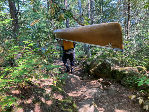
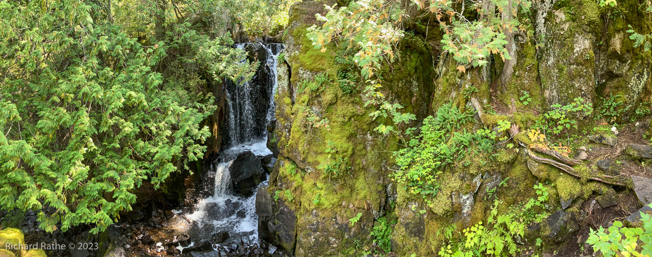
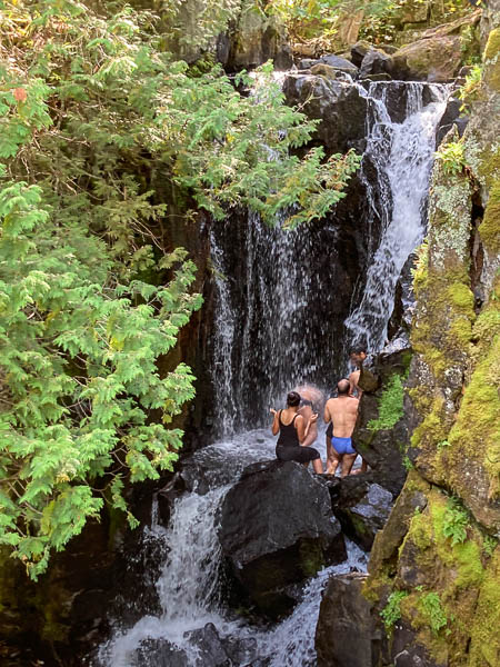
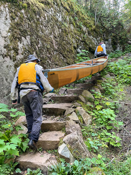
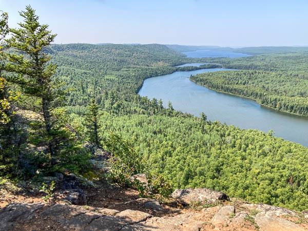
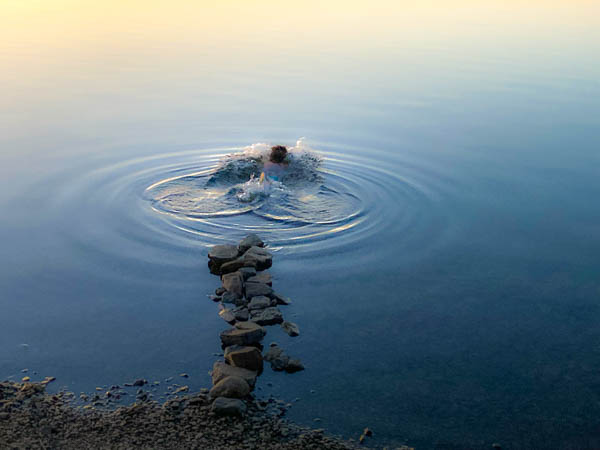
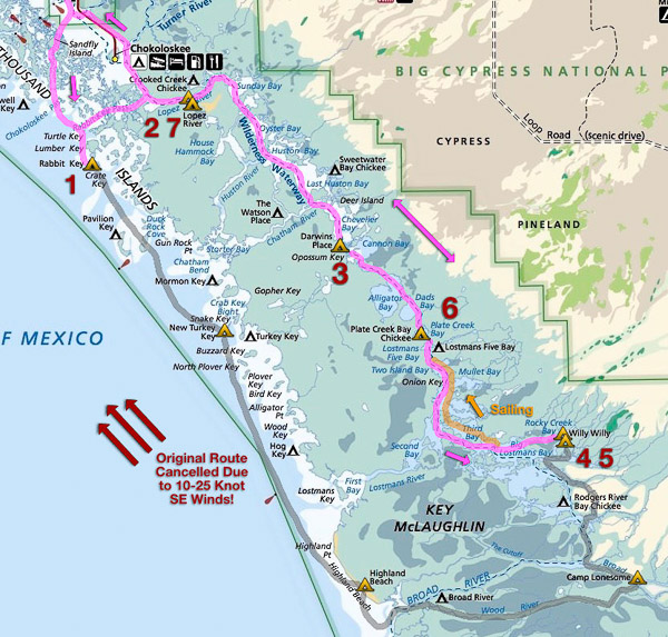
This year we planned an aggressive trip—going down the Gulf Coast to access the narrow Wood River and then loop back through the various inland bays. Yet again we were thwarted by adverse winds… [More Photos…]

Route Map 2024
Route Map 2024

Day 1 (Rabbit Key)

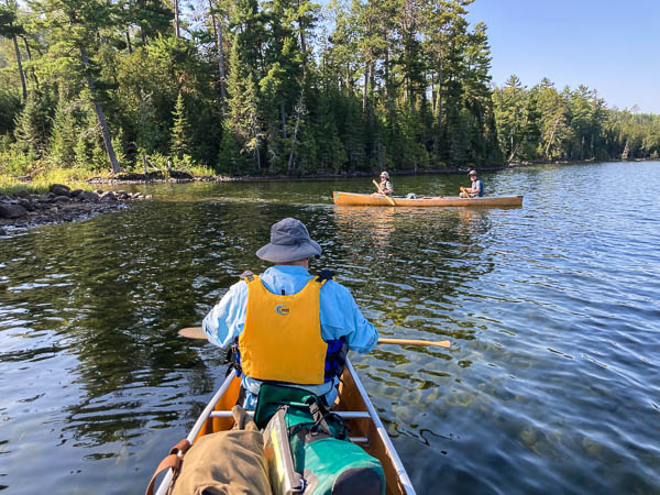
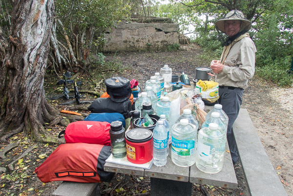
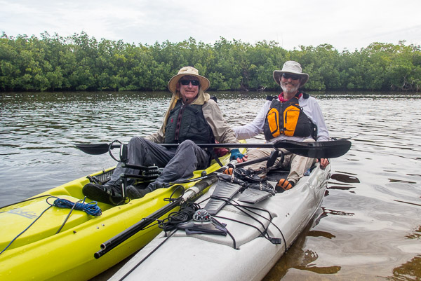
We set out from Everglades City on a rising tide. There was a small craft warning that day with wind gusts to 25 knots. It was a mostly offshore so the waves were a modest one foot. Once out in the Gulf, we hopped from small island to small island. We had no problem making it to Rabbit Key.

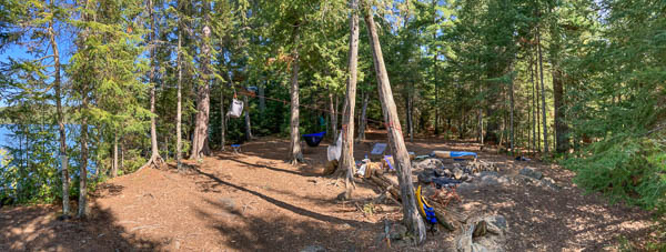
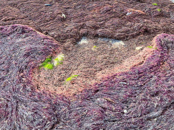
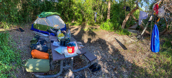
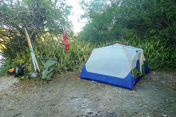
The best campsite is now on the north end just above the large sand spit. [The passage between Rabbit and Lumber Keys appeared to be gone BTW.] When we got there the tide was going out, so after unloading our boats we went for a walk around the island (always a fun thing to do!). The only unexpected change was a thick mat of red seaweed (or algae?) on the side facing the Gulf.

Red Seaweed or Algae
Horseshoe Crab and Snail Egg Case

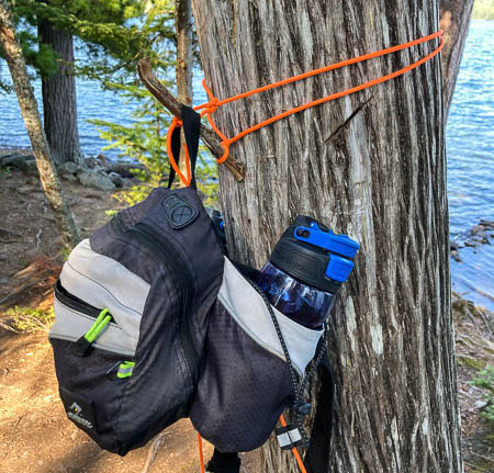
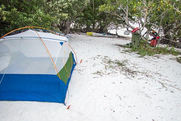
Our tent this year was new and came with thin wire stakes. I bought some large, flat sand/snow stakes and they worked exceedingly well. The only issue is they required a mallet or rock to drive them into the compacted shell debris under the sand.

Rabbit Key Campsite
Rabbit Key Campsite

Day 2 (Lopez River)

The next morning started calm, with the tide went out. This gave us plenty of time to get up, walk around, have breakfast, and get things packed. As the tide rose the wind came back with a vengeance (it was predicted to decrease each day?). We checked our radio and the forecast had changed to increased winds for the next two days. We were going to be more and more exposed on the coast so we decided to divert inland (just like last year.).

Sunrise on Rabbit Key

We headed back to Rabbit Key Pass to get into the Lopez River. We must have been taking lots of waves from behind because my boat began to fill up with water. At first I thought this must be a leak below the waterline, but it turned out to be the waves over the stern (a relief actually). Only baseline leakage for the rest of the trip. No big deal!

Near Chokoloskee I had cell service so I called to amend our permit. It was very odd. The person I talked to could tell me the Lopez River Campsite was open, but could not actually change the permit. I think this is a real problem with the conversion to recreation.gov, there is no flexibility or local control anymore. [They also no longer handle “walk-up permits” at the Visitor Center.] This is NOT an improvement IMO!

Bugs at Lopez River Campsite

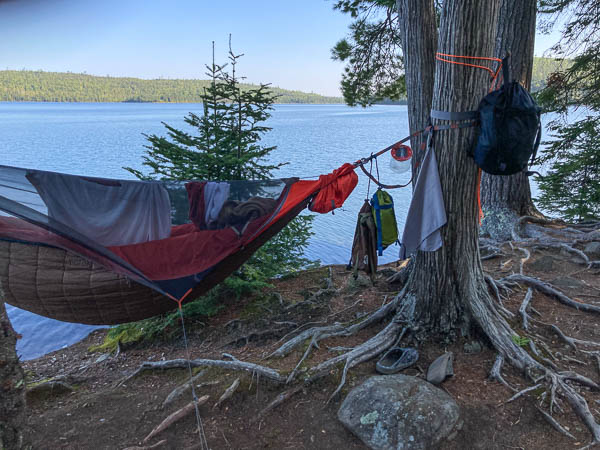
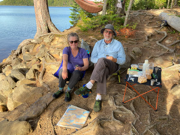
The campsite was indeed unoccupied, but out of the wind, so it was buggy. We got my boat out of the water to check for leaks (there were none). We had an early dinner and went to bed at dusk.

Day 3 (Darwin’s Place)

The next day was basically a long crawl across several large bays against the wind (and sometimes the tide!). Other than a few fishing boats ducking behind islands, we did not see anyone else. Our target was the ground site at Darwin’s Place, thinking it would be unoccupied. So we were surprised to meet a husband and wife from Tennessee who had come that day from Sweetwater in a canoe!

They were very nice and had no problem with our unexpected arrival. Fewer bugs because there was a breeze into the evening. We were pretty much exhausted so it was a quick dinner and into the tent. We both slept very well!

Leaving Darwin's Place
Leaving Darwin’s Place

Days 4 & 5 (Willy Willy)

At this point it was a bit too far to Camp Lonesome (to get back on our original itinerary) so we decided to go directly to Willy Willy, stay two days, explore, and see what that area had to offer.

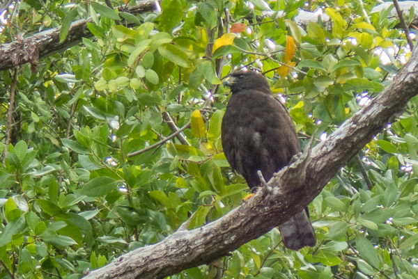
On the way we had to traverse two long creeks. As we were about to enter Alligator Creek, two dolphins came out and made big wakes right under my kayak. Along Plate Creek we encountered a medium-sized hawk with nearly all black plumage. I later keyed this out as a Zone-Tailed Hawk, which is normally found in the Southwest!

Zone-Tailed Hawk Along Plate Creek

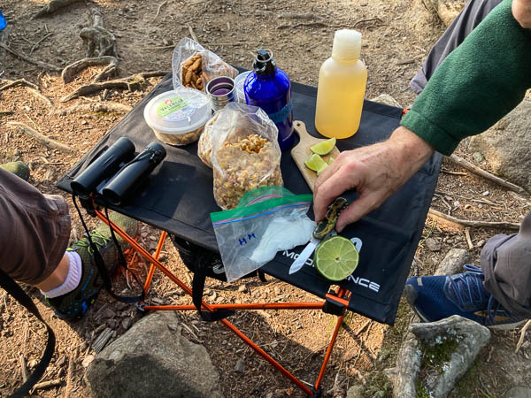
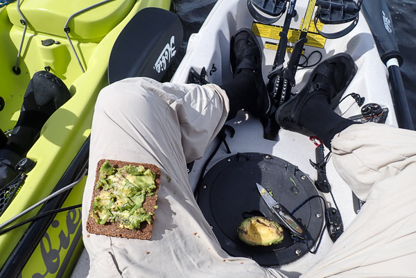
The wind was still there, but a bit less. The high overcast abated and the sun came out. Midday we rafted together and ate lunch on the float. (Up until this point we were just chugging along eating energy food all day.) I should mention how well avocados work as trail food!

Our Floating Lunch
Our Floating Lunch
Mmmm… Avocado Sandwiches

Willy Willy was not what we expected: reasonably open, enough breeze to keep the bugs off, perfectly clear (and fresh) water! As we were unloading a 6-8 foot gator approached and then submerged just below the dock. It was like watching him in an aquarium exhibit! I thought it could be a problem but he got bored when we didn’t engage, backed off, and we didn’t see him again after a few hours.

Willy Willy Campsite
Willy Willy Dinner
Willy Willy Dinner

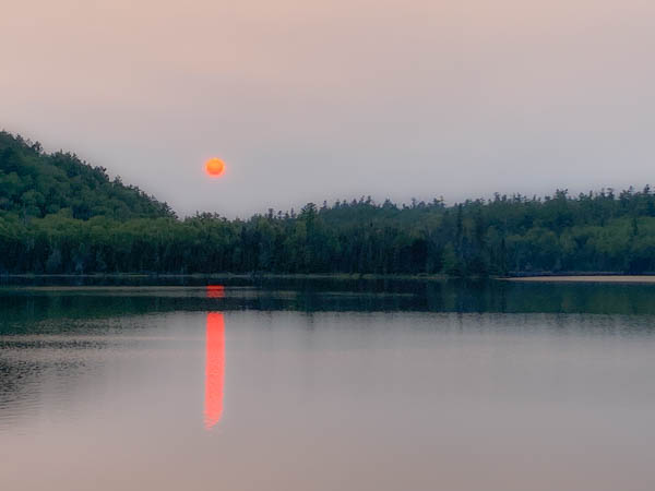
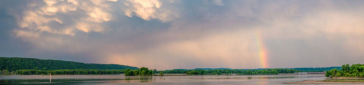
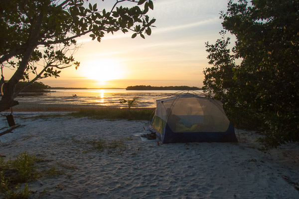
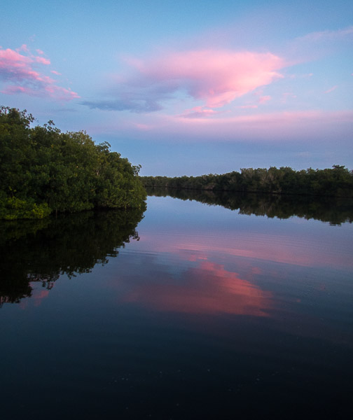
We had a beautiful counter-sunset and it was the full moon.

Willy Willy Sunset
Willy Willy Sunset

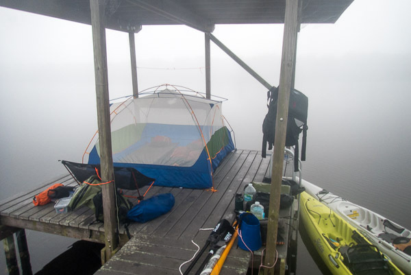
Day 6 (Plate Creek Chickee)

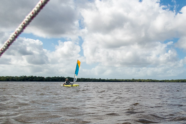
By the third day were finally back on our permit and headed north. The wind had diminished but not changed direction so for the first and only time we got to sail most of the day!

Our One Day of Sailing

We got to the Plate Creek Chickee easily and early. The light breeze continued so there were no bugs. There were two gators cruising around but neither approached us in an aggressive manner.

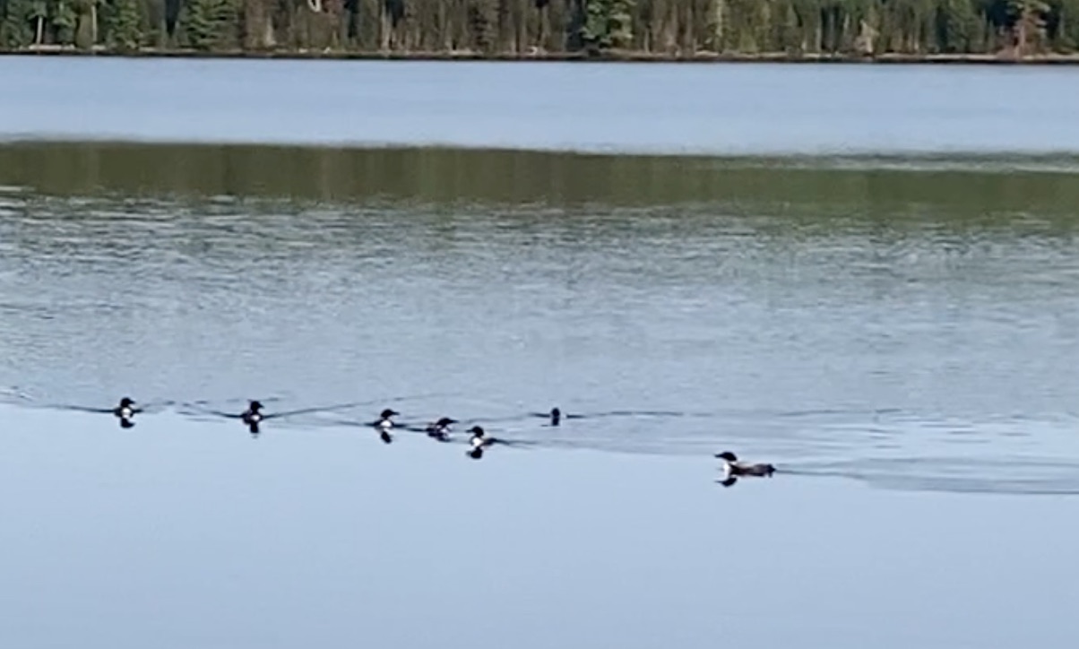
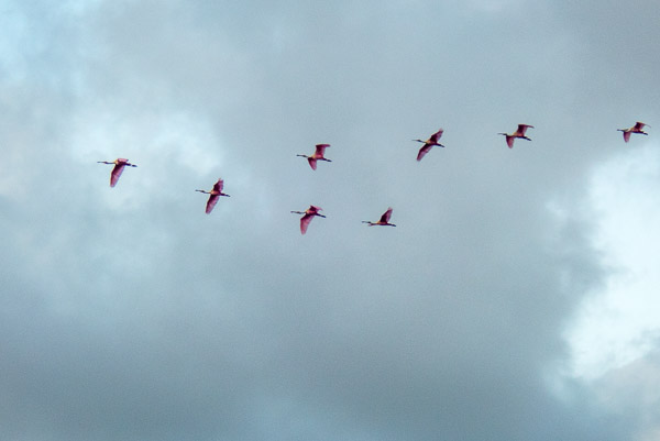
Just at sunset we started to see small flocks of Roseate Spoonbills all headed in the same direction to rooker-up for the night. Then they just kept on coming!! In one formation we counted thirty five. We estimate we saw about eighty of these rare birds before darkness fell.

Flocks of Roseate Spoonbills

The tent (without fly) fit the chickee well. (My old tent was more hexagonal, so effectively occupied more floor space.) The breeze fell just at dusk and the bugs moved in so we were more than ready to get inside and close the doors! We woke to a thick fog in the morning.

Foggy Morning on Plate Creek Chickee

Day 7 (Lopez River)

Again we listened to the marine forecast on our radio. A cold front was coming and sometime that day the wind would shift from SE to NW and might be a steady 25 knots! We decided to make haste through as many large bays as we could before the change and camp at either Crooked Creek or Lopez River.

Lopez River Campsite

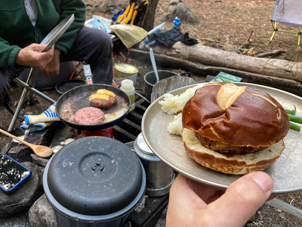
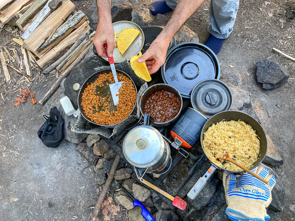
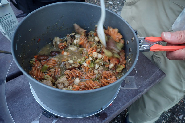
This was a good decision. After a very long, but not unpleasant day we pulled into the Lopez River Campsite (for the second time) just at dusk. We made camp and had a deluxe dinner of Pad Thai and Mango Sticky Rice. No bugs this time and much cooler. We slept well.

Trail's End
Trail’s End

The next day there was indeed a 20 knot plus wind from the NW. We elected to take the Chokoloskee Canal to avoid wind on the bayside, and had some problems with mud at low tide. It was a good thing we’d gotten so far the day before! We were out by 2pm and met two large groups of high school students about to go out on their first canoe trips…

Our trip this year was challenging and highlights the capabilities of peddle kayaks. We logged three 18+ mile days AGAINST 10-20 knot winds without too much trouble. There is no question in my mind that we’re seeing the results of Climate Change with ever increasing energy in the atmosphere. Future trips will have to take this into consideration.

Epilogue

Desert Solitaire Book

I had the good fortune to pick up this paperback copy of “Desert Solitaire” by Edward Abbey for reading material on the trip. It is an excellent book both for both the stories and the perspective on our National Park System (of which the Everglades is a part). With all the tent time I read most of it by the end of the trip.

[More Photos…]

Chaco Canyon 2023

Chaco Canyon Entrance

After braving the nearly washed out road from the north I arrived around 9am. I had to “walk” my Prius diagonally over piles of gravel and exposed rock faces. This was my third attempt over twenty years to visit this important site. (The first two failed because the roads were completely washed out!) [Full Gallery]

The map below shows the basic layout of the park (click to enlarge). Most of the sites are easy walking distance from the main loop drive.

Chaco Canyon Map source:nps.gov
Chaco Canyon Map (source:nps.gov)

A short walk from the Vistors Center is the small un-excavated ruins of Una Vida. The prominent Fajada Butte is seen in the distance. This is the location of the famous “Sun Dagger” astronomical feature presumed to mark the summer solstice.

Una Vida Ruins and Fajada Butte

A short scramble above that are impressive Petroglyphs inscribed into the cliff face.

Look Up! Petroglyphs
Petroglyphs Detail
Petroglyphs Detail

The focal point of the entire park is Pueblo Bonito, a huge stone edifice that contained over six hundred rooms and dozens of circular ceremonial structures called “Kivas”. (source:nps sign)

Pueblo Bonito Sign
Pueblo Bonito Sign

The walls nearest the cliff were crushed by a rock slide after the structure was abandoned. The rounded walls are the remains of various kivas.

Pueblo Bonito Panorama

One quadrant has been restored so visitors may explore a warren of small rooms. Notice the very low doors and what remains of wooden timbers holding up the floors above. The stone in the foreground was used to grind corn. The consensus is these rooms were not residential but related to the ritual use of the site.

Pueblo Bonito 360 Panorama

The nearby ruins of Chetro Ketl features a Great Kiva 62 feet in diameter. Notice the two seated visitors for scale!

Chetro Ketl Great Kiva

The remains of Chacoan Stairways can be seen in several places behind the ruins. These are no mere “Moki Steps” but wide grand staircases leading to cerimonial roads throughout the area.

Chacoan Stairway
Chacoan Stairway

Several flowering plants were abundant due to recent rainfall. This particularly showy example is Emory’s Globemallow.

Emory's Globemallow
Emory’s Globemallow

The Pueblo Alto Trail starts above the Kin Kletso ruins. I attempted this late in the day after finding out there were no more campsites available that night. The trail went straight up into a huge crack in the rock!

Cliff Rim Trail Above Kin Kletso Ruins

As I was ascending I noticed one boulder that was different then all the others. It had Fossils! Mostly cross-sections I thought. Here is what some online geologist friends speculated…

“Mostly cross-sections of fossil shells, mostly bivalves & I think a gastropod.”

“…the large white mass consists of opaque secondary calcite that precipitated in an empty shell post-deposition, in contrast to the others that filled with silt or lime mud shortly after death.”

Fossils
Fossils

I climbed about two hundred feet to the stone rim.

Cliff Rim Trail Panorama

There were helpful signs along the way, including this one calling attention to several man-made basins pecked out of the rock where water would sometimes flow.

Water Collection Basins

I finally got to the overlook where you could survey Pueblo Bonito in all its glory!

Pueblo Bonito from Above

At that point I had to turn back and start my downward climb… (Alternate Video)

Note: The trail went through a huge crack in the rock face. I used a Theta S 360 Camera to capture my descent. At one point I was also fighting a 20+ mph headwind! It looks very steep at the end… IT WAS!

I ate dinner as the setting sun lit the virga falling from late afternoon clouds.

Chaco Canyon Sunset
Chaco Canyon Sunset

What I missed…

I did not have time for the seven mile hike to see the Supernova & Comet Pictographs near the Penasco Blanco ruins (picture shown here from Wiki Commons). The “starburst” figure may document the 1054 CE Crab Nebula Supernova.

Supernova & Comet Pictographs source:wikicommons
Supernova Pictograph (source:wiki_commons)

I left the park at dusk via the south entrance road. Fortunately this route was in better shape and the main hazards were multiple tall cattle grates that threatened to high center my car.

More Photos…

BWCA Canoe & Hiking Trip 2023

This year’s trip was a return to a familiar locale…

Duncan and Rose Lakes!

BWCA Route Map, Source USGS
BWCA Route Map, Source USGS (Click to Enlarge)
Video with Loons and Beavers

Complete Photo Gallery

Day 1 (Portage to Duncan Lake)

We started at Bearskin Lake and paddled across to the Duncan Lake Portage.

Starting Out
Starting Out

After exploring options on the north shore of Duncan we decided to stay on the campsite closest to the portage on the south shore (conveniently vacated by the prior group as we waited).

Duncan Lake Campsite

Overall this was a great site and not affected by blowdowns like the others we looked at. It had a nice fire area, lots of big trees, adequate tentsites, and a small pebble beach. (4/5 rating)

Hammock Housekeeping

I’ve been a Hammock Camper for the past ten years. This was the first trip where I used an Underquilt and it performed very well. On the warmer nights (50s) I barely needed a sleeping bag. Going to bed felt like entering a warm bath!

After setting up camp, we had Happy Hour and veggie burgers for dinner!

Happy Hour
Happy Hour
Veggie Burgers
Veggie Burgers

The smoke haze from the Canadian Forest Fires gave us a very red sunset that night.

Smoky Sunset
Smoky Sunset

Day 2 (Canoe to Rose Lake)

The next morning we were treated to the largest gathering of Loons I’ve ever seen! We counted nine in all. It started with three or four calling and others flying in over about twenty minutes. Then they socialized and fished together for at least an hour. I called it the Loon equivalent of a breakfast club!

We read that at this time of year Loons are after fish called Cisco or lake herring. These are very oily and help the birds fatten up before they fly a thousand miles to the ocean for the winter.

Loons Gathering
Loons Gathering

We paddled down the long eastern arm of the lake to the famous “Staircase Portage” to Rose Lake.

Down the Staircase Portage

We consolidated into one canoe to cruise around Rose. We saw where Ross and I camped during the The Boys 40th Birthday Trip back in 1996.

Group Photo on Rose
Group Photo on Rose

We stopped by Rose Falls to have lunch before heading up the stairs and back to Duncan.

Rose Falls
Rose Falls (Click to Enlarge)
Swimmers in Rose Falls
Up the Staircase Portage
Happy Hour Again
Happy Hour Again

Day 3 (Caribou Rock Trail, 4.3 Miles)

Group on the Trail
Group on the Trail

The next day we decided to hike on the nearby Caribou Rock Trail. This would ultimately take us to Rose Lake, but we did not go that far. Afterwards we read this is one of the “most difficult trails in Minnesota!”

Steep Climb
Steep Climb
Ross Above Duncan Lake

That night we recovered with an elaborate taco meal prepared by Ross.

Taco Dinner
Taco Dinner

Day 4 (Rose Lake Cliffs, 6.5 Miles)

Our final full day was a mix of canoeing and hiking the Border Route Trail to the Cliffs over Rose Lake. It was difficult at times, but the view once we got there was worth it!

Rose, Rat, and South Lakes

Way down on the lake we noticed two large white birds. These turned out to be a pair of [Trumpeter?] Swans! At the top I was able to take a photo through the binoculars with my phone.

Two Swans Thru Binoculars
Top of the World!
Top of the World!
Pileated Woodpecker Holes
Going for an Evening Swim!

Day 5 (Return to Civilization)

Leaving Paradise
Leaving Paradise

The next day was pretty simple. We broke camp early because the day was going to be hot (high 80s). When we later drove through Duluth the dash thermometer said it was 101!

Knots of Note

Bear Rope Hitch

Bear Rope Hitch
Bear Rope Hitch

We saw this one on a video about bear ropes. It is somewhat counter-intuitive as you get started and may require two people if the rope is heavily loaded. The first loop eliminates the need to “wrap the tree” with a long rope. The second vertical loop locks under the taught working end. As a slip knot it is extremely easy to untie so you can add one or two half-hitches for more security when needed.

Soft Shackle

Soft Shackle
Soft Shackle

These are referred to “Aussie Bowlines”. They are specifically used to secure a loaded line to a sail or other object. The cinch cords shown here already have stopper knots on their ends so it is easy to “shackle” them to the hammock strap.

Treehugger Hitch (or Tree-Hook Knot)

Treehugger Hitch
Treehugger Hitch

This is an idea I’ve been incubating for some time as a non-destructive “place anywhere” alternative to nails in trees or breaking branches to hang things on. Shown here is my first successful field test! It is tied using a short stick or similar object found locally.

  • Starting with the middle of the rope, wrap the tree at least twice and tie loosely with a reef (square) knot.
  • Catch the lower loop with the stick and add turns to partially tighten the loops.
  • Tie the upper end of the stick as tightly as possible in front of the reef knot.
  • Adjust everything to use the resulting hook to best advantage.
  • The excess rope will just hang down out of the way.

It performed well holding about ten pounds of equipment and it even let me hang up my hat! The main flaws with this implementation are the stretch in the second reef knot and the tendency for the loops to converge, allowing the hook to turn sideways. I plan to address these in the next version.

Once perfected this bit of knot-craft should help eliminate the need for nails in trees!

Old Nail in Tree
Old Nail in Tree