Everglades Trip 2005
Adventures with My Father
Richard Rathe, January 2005 (Camping)
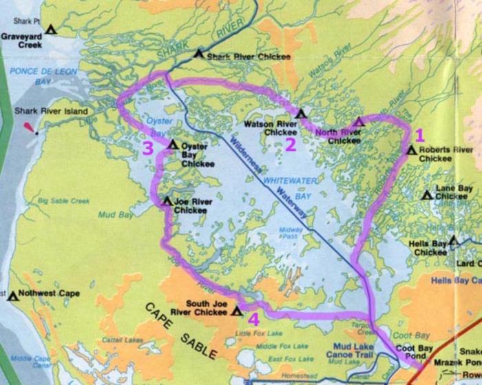
Day 1 (Coot Bay Pond to Roberts River)
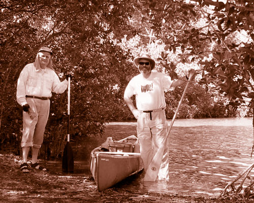
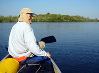
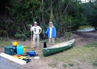
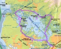
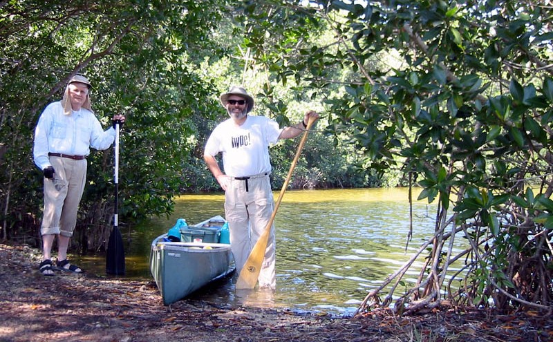
After driving down from Naples, we reached the put in at Coot Bay Pond around 11am. We were on the trail by 11:45. There was a ten mile per hour breeze out of the north, so we had a headwind most of the day. We headed directly into Whitewater Bay for the first few hours before turning up the side bay leading to Roberts River.
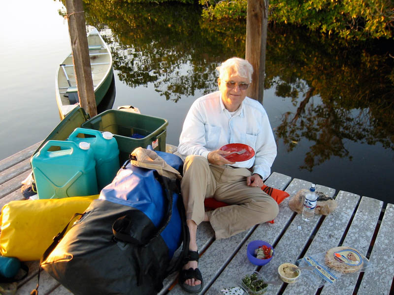
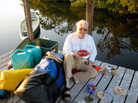
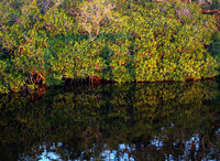
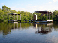
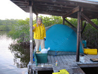
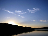
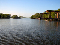
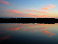
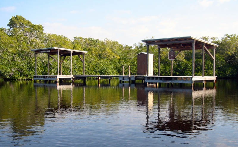
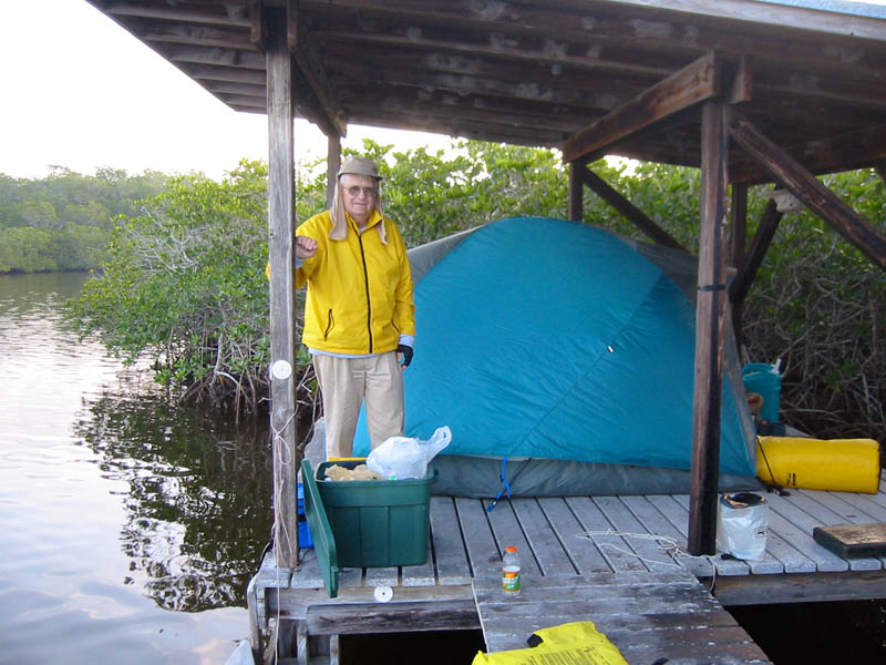
We reached the Roberts River Chickee around 5pm. We shared the platform with another canoe/kayak group from Maryland. Dinner was no cook tabouleh salad on flat bread. The sunset and afterglow were spectacular. At one point the sun cast a strong shadow on the mangrove.
Day 2 (Roberts River to Watson River)
We were both a bit sore in the morning. We had a leisurely breakfast, packed up and headed out.
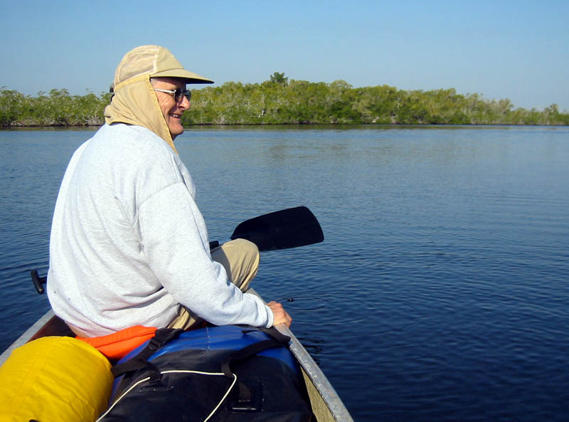
Shortly after heading upstream from the chickee, we took a cut off that lead to the North River. The day was beautiful, warm, with a cool breeze.
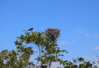
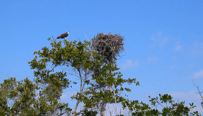
We saw many dolphins and ospreys along the way. We navigated the back channels to reach the Watson River Chickee by around 1:30pm. We read and napped in the shade. Dinner was pasta with sun dried tomatoes and pesto sauce. At dusk we went out in the canoe to watch the final afterglow fade and the stars come out.
Day 3 (Watson River to Oyster Bay)
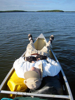
Another great day dawned. We decided to attempt The Labyrinth and find a small unnamed creek that headed west toward the Gulf. We found our creek without difficulty, however, we both fell in the drink during a rest stop. The canoe did not swamp, but it did ship about six inches of water. The creek was very deep and there was no place we could stand. We self-rescued, baled out the water, and were on our way within twenty minutes. It was excellent practice and a nice swim break. [From then on I would think of this passage as Dad's Creek
.]
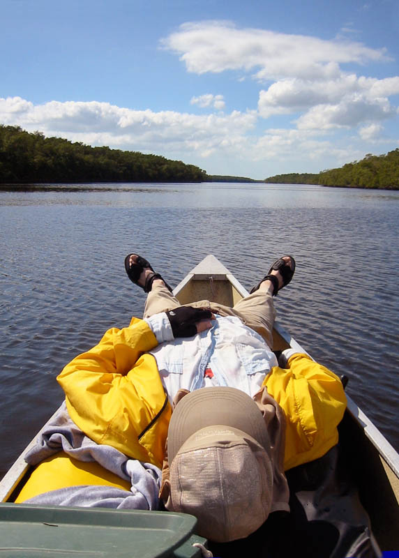
Both wind and tide were favorable when we reached the Shark River, so we drifted and ate lunch. The presence of dolphins was almost continuous. Blue sky, warm sun, cool breeze at our back, no bugs, no boats, no people—a perfect day!
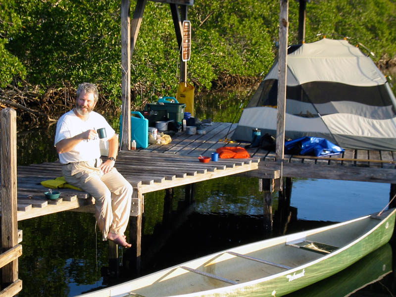
We circled around the channels to the west and gradually made our way south to the Oyster Bay Chickee. (We did not go all the way out to the Gulf due to the tides.) I took a bucket bath with the brackish water. We again shared our abode with the same party we had met on the first night. Dinner was a tuna casserole. The sunset was impressive for the third night running.
Day 4 (Oyster Bay to South Joe River)
In the morning we were greeted by a mother dolphin and her calf. They seemed to parallel our course for at least an hour.
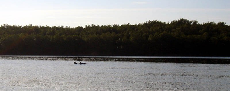
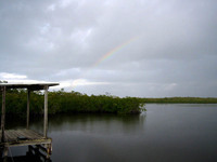
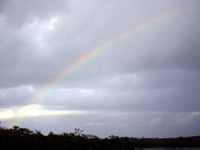
Again the wind was at our back and we made our way down the bay at a leisurely pace. We had a rest break and ate lunch on the Joe River Chickee. It clouded up as we left and we got rained on later that afternoon—nothing severe or prolonged.
We made the South Joe Chickee and found a note from our shadow party telling us they had gone back early to avoid the weather. A ranger in a powerboat came out to check on us and to tell us there might be an extra canoe party on the chickee that night. That party never came, but a group of fishermen in powerboats showed up just at dusk to camp illegally. [This is the only time I've had this happen in 25 years!]
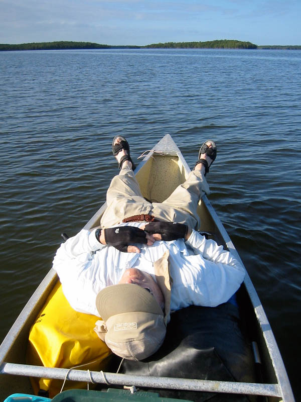
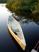
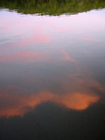
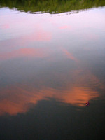
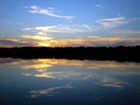
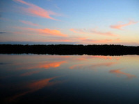
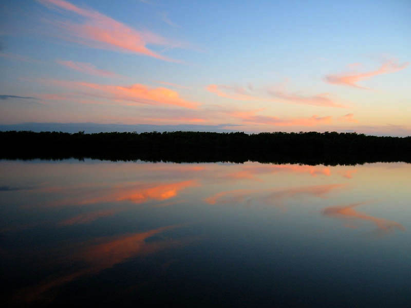
The sky cleared at the end of the day and the sunset was again spectacular. I took several mirror reflection photos. By my Father's request, dinner was fried Spam on flat bread. We got to bed late, after our interlopers finally settled down.
Day 5 (South Joe River to Coot Bay Pond)
The day started out clear, but by the time we were packed up and on the water a dark overcast blew in from the Gulf. It rained briefly as we left Joe River behind and entered lower Whitewater Bay. We had a following wind that made paddling easy, but the waves were approaching two feet by the time we left the big water.
We reached Coot Bay Pond around noon and brought another successful trip to an end.
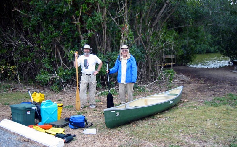
Below is a quick-and-dirty gallery of my photographs. See my Everglades Wilderness Guide for more trips, maps, & photographs.
(click any image to view or advance)