Everglades Trip 2015 (Solo)
A Boy and His Boat
Richard Rathe, January 2015 (Birds, Camping)
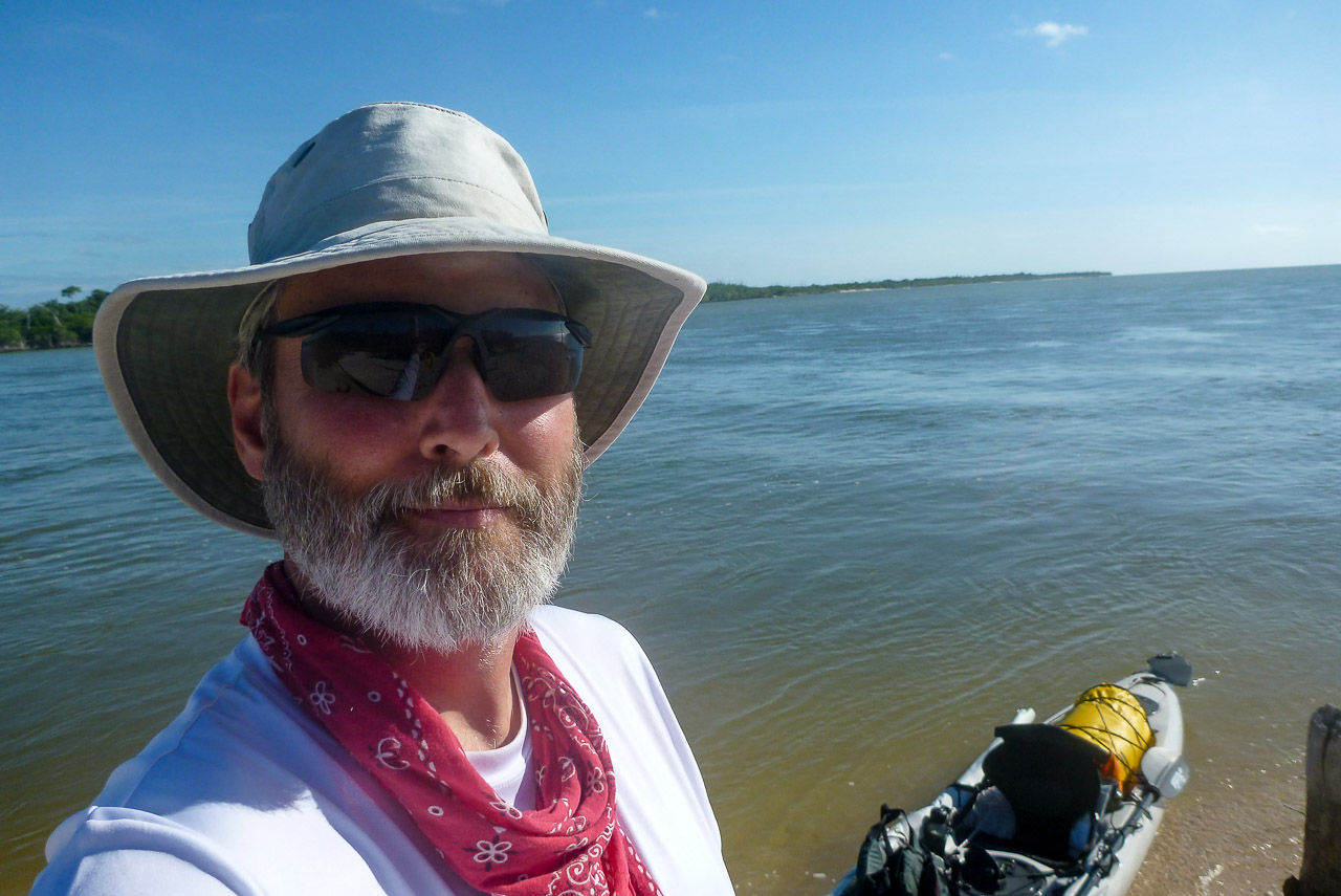
This was my Eighteenth Everglades Journey and a collection of firsts for me: first Solo Trip, first en-route rendezvous, first exploration of the River of Grass, first time around Cape Sable, first time sailing beyond the horizon, first time camping in Florida Bay, and first major equipment failure (rudder). This was probably my penultimate trip! With the exception of bug problems at one site, it pretty much came off without a hitch. 🙂
Day 1
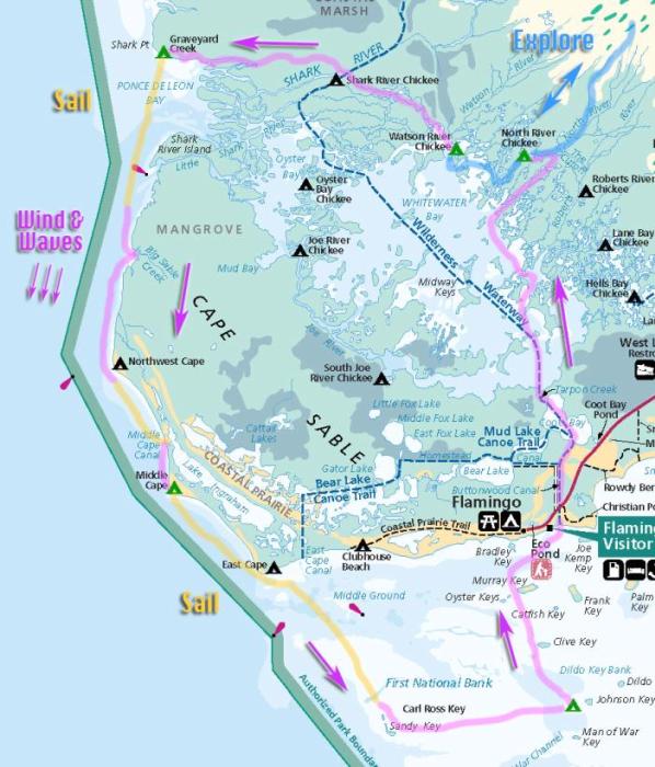
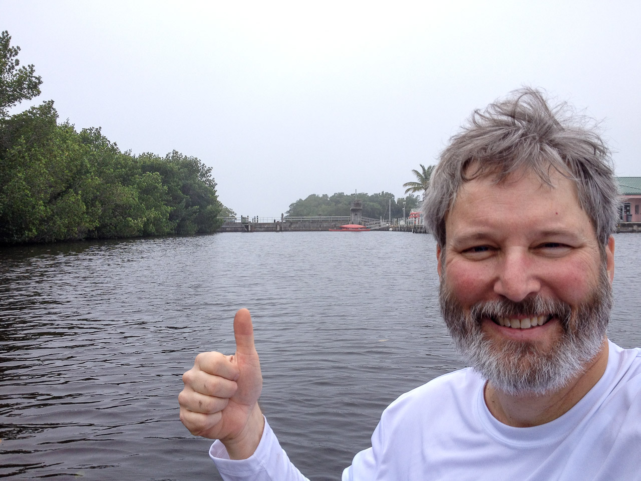
I started out at Flamingo, where the marina is split in two by a dam—separating the waters of Whitewater Bay from the Gulf of Mexico. This was necessary to mitigate the damage done by the Buttonwood Canal. [note1] I put in on the north side and proceeded up the canal to Coot Bay. From there it was a fairly uneventful trip up to the North River Chickee.
Day 2
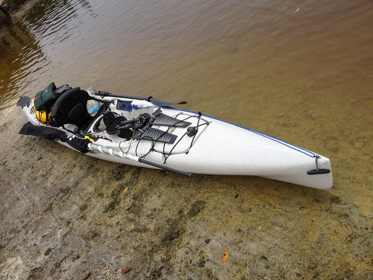
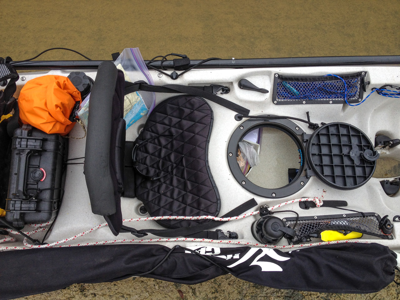
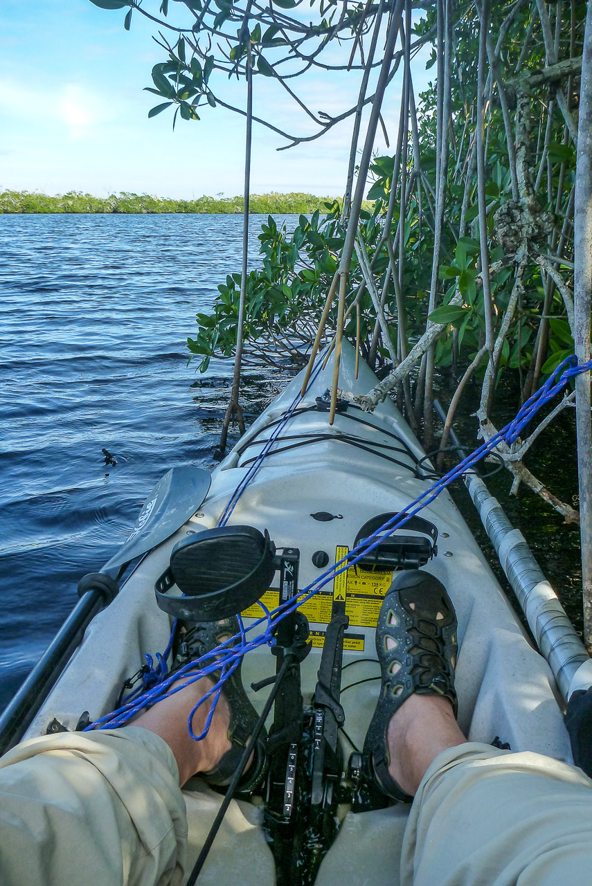
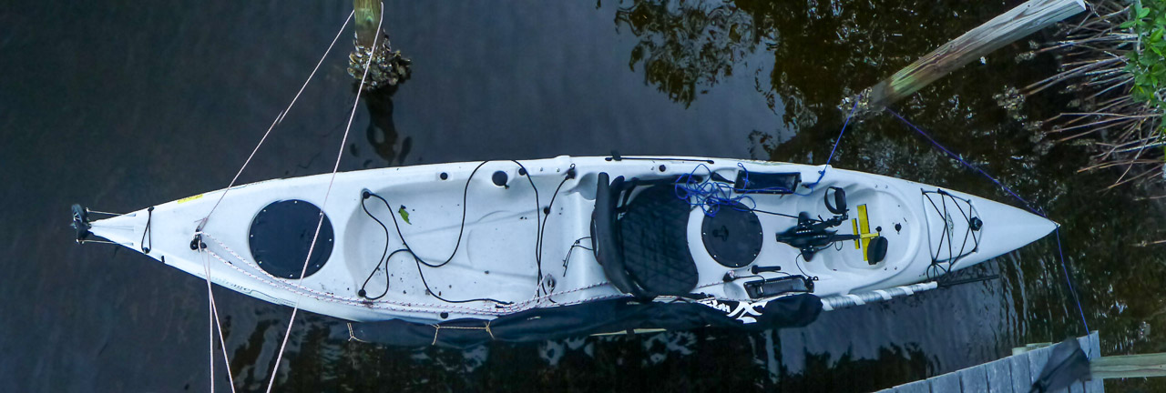
The next morning I loaded up as shown here…
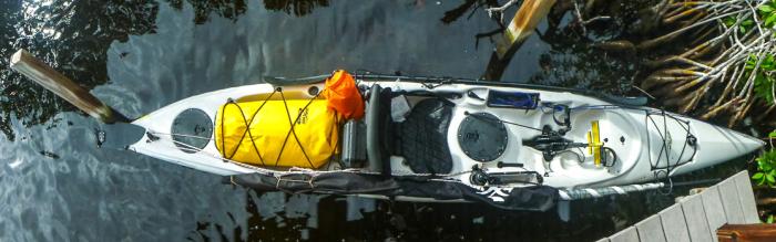
[Note the two items behind the seat, foul weather gear in the orange bag and my big camera in a black waterproof box. This made both accessible without much turning.]
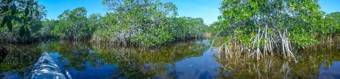
…and headed northeast up one of the many channels of the North River. I went at least a mile beyond the point there was a discernible river
. I think I had reached the edge of the true River of Grass.
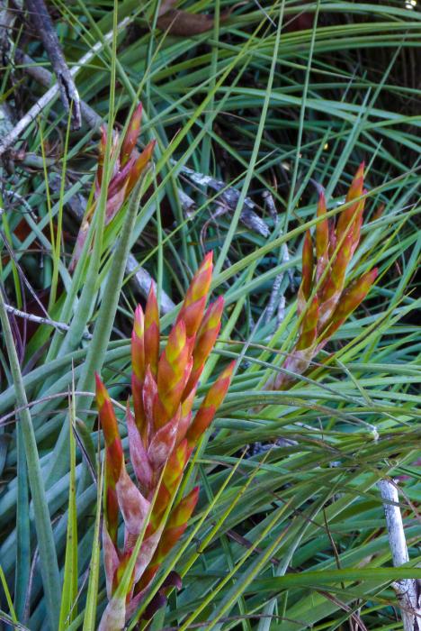
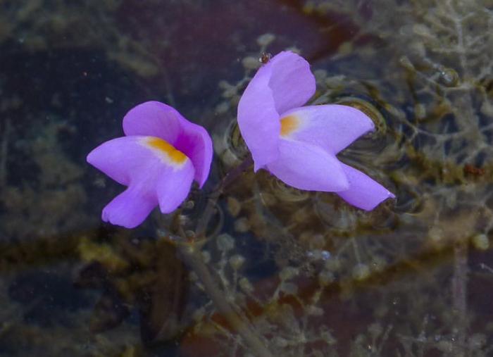
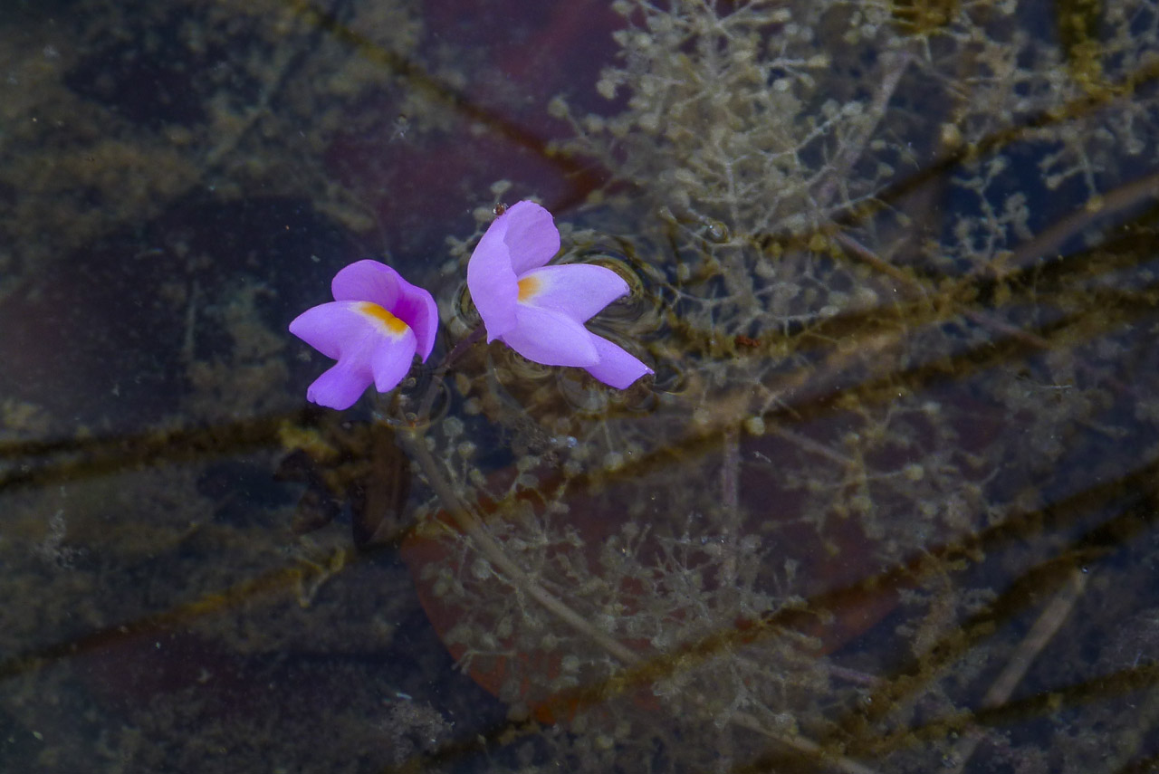
There were lots of interesting plants. Including Bromeliads (above) and carnivorous Bladderworts.
I went as far as I could go and almost lost a shoe in the mud. Got a bit lost on the return trip. It was a real maze!
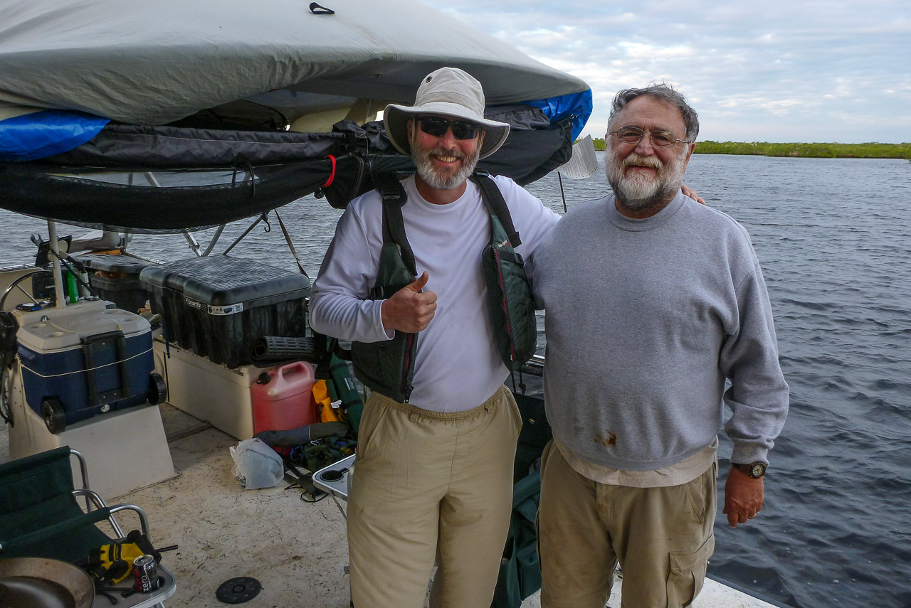
I made it back to the same chickee just in time to share dinner with my friend Larry Rooks and his cousin who were on a fishing trip with a powerboat. Serendipity! [note2]
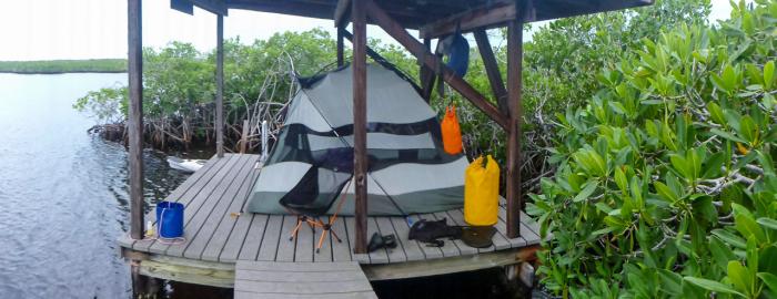
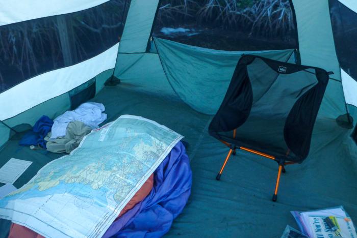
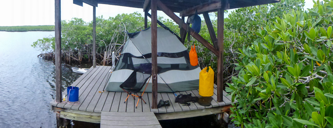
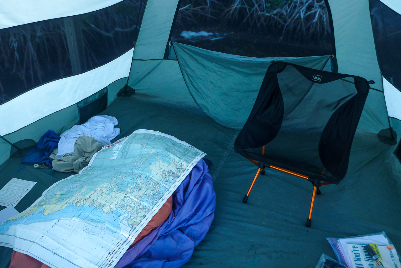
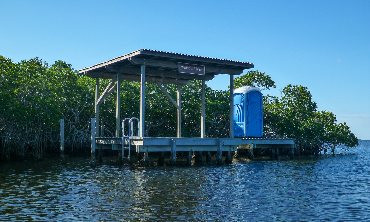
After dinner I skedaddled and made it to the Watson River Chickee just as darkness fell. The bugs were out so I retreated to my large tent, sat in my little chair, and read my book. Like having my own private screen porch… Sweet! There was no moon so the stars were brilliant, especially Orion and Sirius.
Day 3
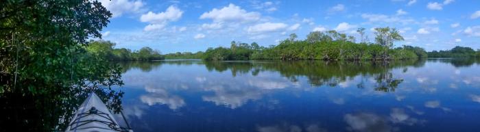
On the third day I headed up through The Labyrinth on my way to the Shark River.
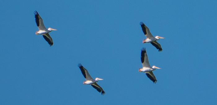
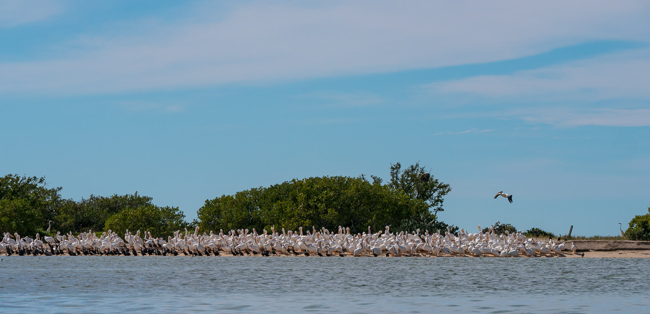
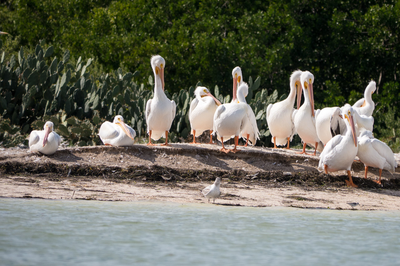
Spotted my first White Pelicans soaring…
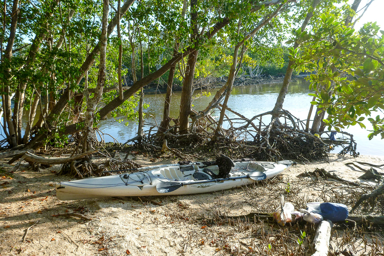
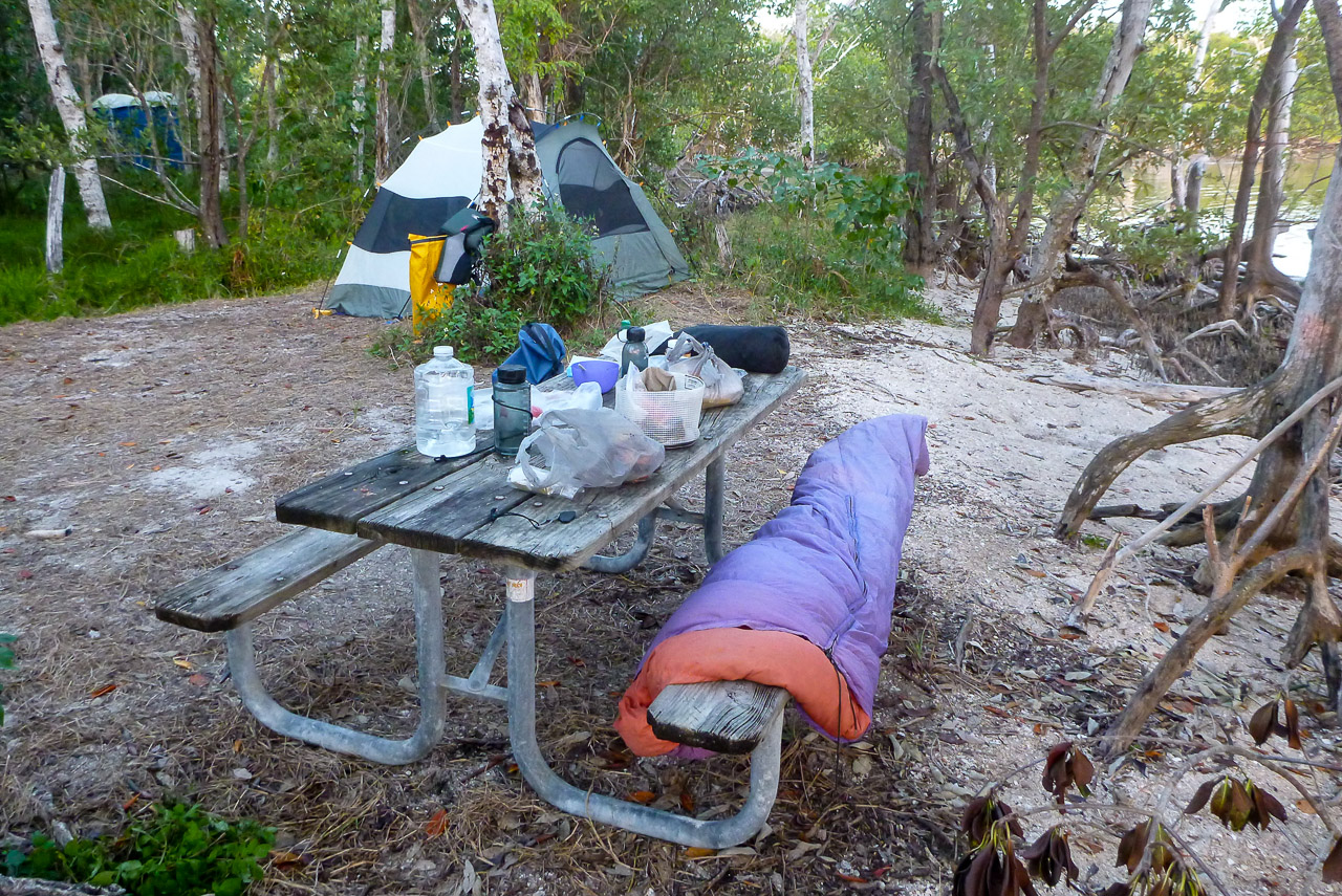
My plan was to stay as far north as possible and come down Graveyard Creek to the campsite at it’s outlet. This was a bit of extra work at low tide, but passible. The site was totally different from what I remember. It was overgrown and very buggy. I headed to the tent early, sat in my chair, and read my book.
Day 4
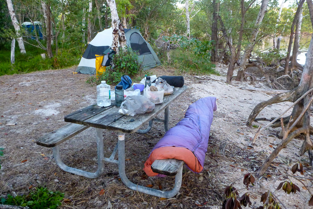
The next morning was something that had to be endured. There were hundreds, maybe thousands, of no-see-ums on the tent! When I finally got out, I was under attack the entire time I was packing up. [note3] The only relief came from walking about the site to keep ahead of the little bastards. Worst I’ve ever experienced. I was so glad to get out on the water!
I began sailing almost immediately and quickly crossed Ponce de León Bay (the mouth of the Shark River). Met another solo kayaker named Steve on the way. The wind increased and the waves grew until I judged it to be too dangerous to sail (15-20 knot wind, 2-3 foot waves). The coastline was rather uninviting, with a fence of fallen trees and no beach showing.
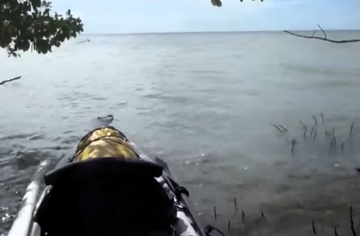
At Big Sable Creek I found one little spot that got me out of the wind and waves. After that I had an uneventful peddle to Northwest Cape. This gave me a bit of relief from the waves so I decided to sail again. I tacked downwind at about ten knots ever watchful for an involuntary gybe. This became a real possibility due to the growing waves that changed my heading 30° or more in a few seconds. I put the sail down when I reached the Lake Ingraham Inlet.
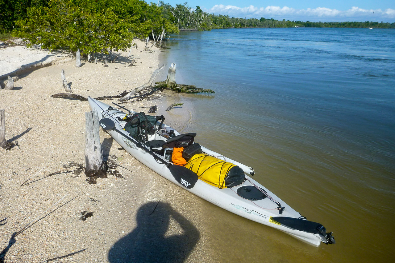
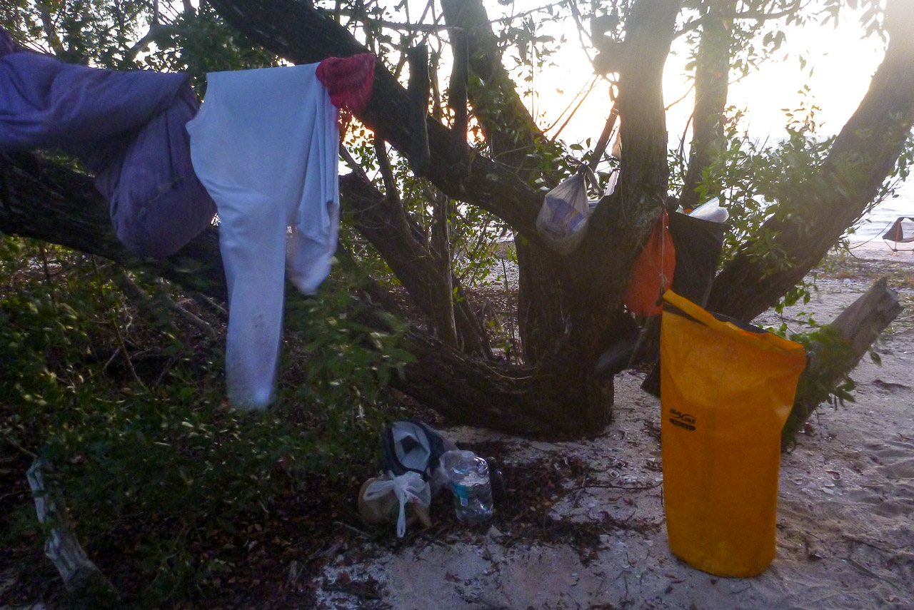
Once I reached the Cape I found a nice little campsite out of the wind with a view of the sunset. This was the only night I was not alone. There were two kayak parties and several fishing boats around the corner to the south.
Day 5
The next day I started out on a port tack and sailed almost all the way to Carl Ross Key without turning (something like 14 miles!). (As I passed East Cape I looked up and saw the fluke of a Manatee as it dove.) This was the first time I'd ever sailed beyond sight of land!
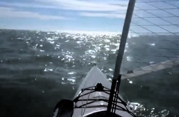
I planned to land and eat lunch at Carl Ross but then my rudder failed. So I peddled on and steered with my paddle. It wasn’t bad, I only had to put in a stroke every ten seconds or so.
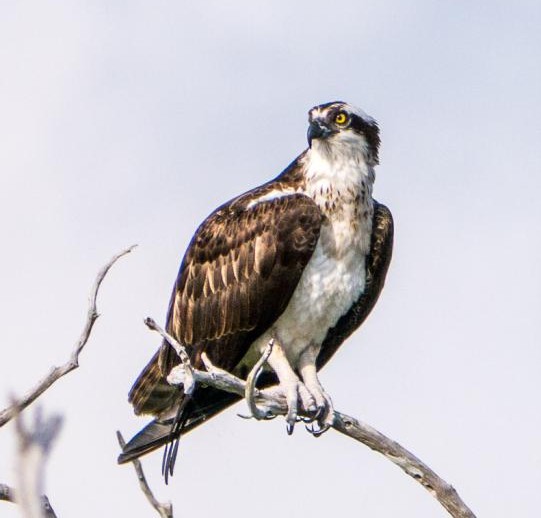
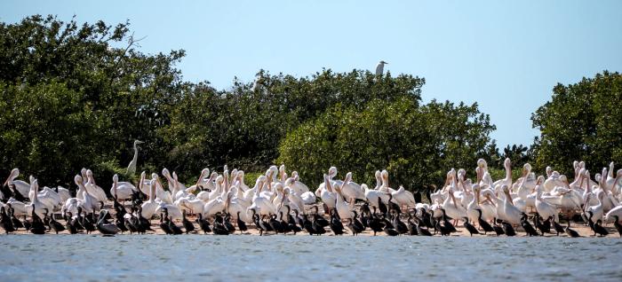
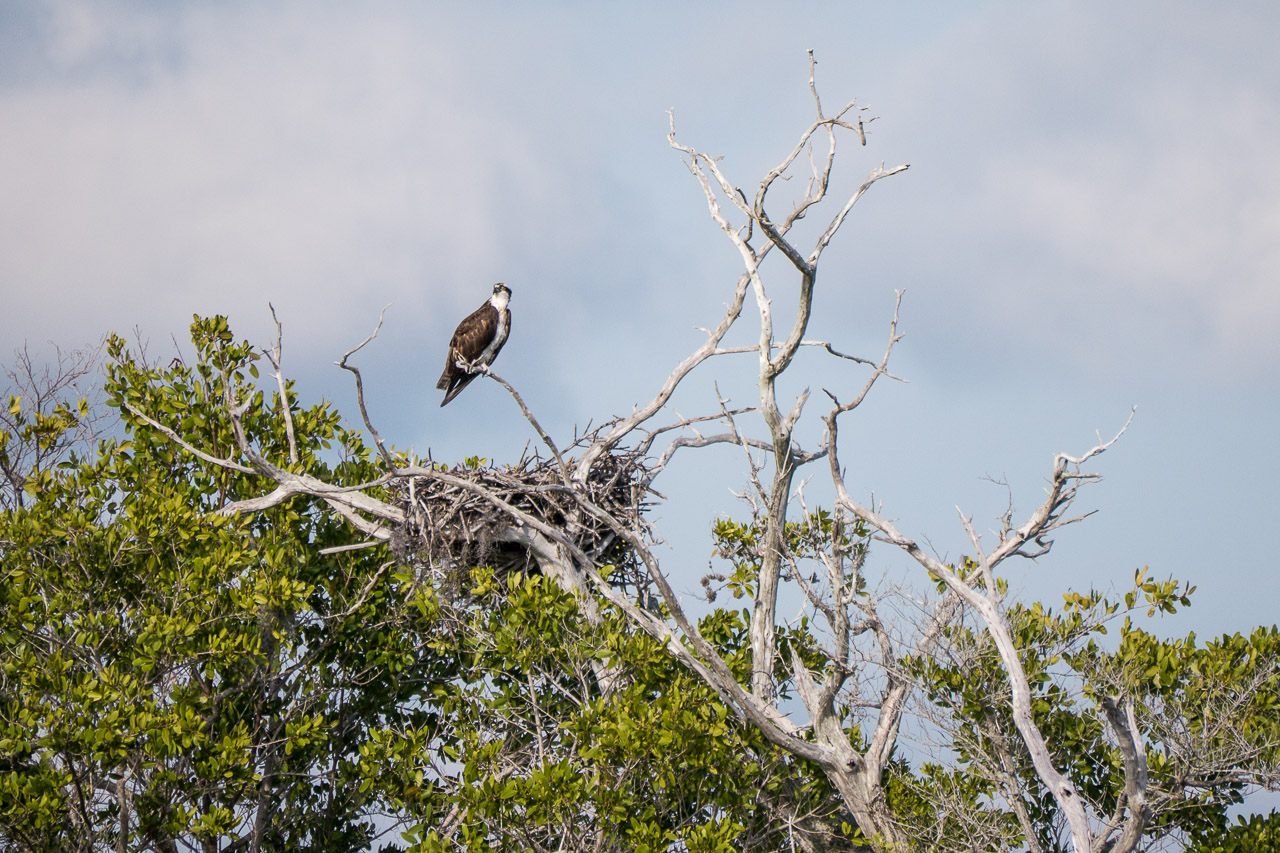
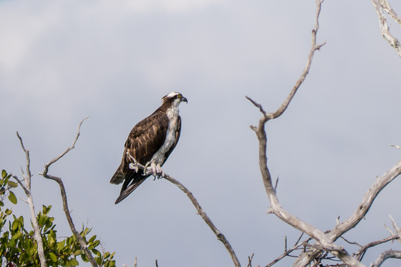
I ate lunch in the boat and cruised the eastern side of Carl Ross and the larger Sandy Key. The later is off limits to humans and as a consequence there were birds in abundance, including rare White Herons and Bald Eagles.
I decided to try and cross the enormous shallow First National Bank
while the tide was still high (about ten miles). This saved me 2-3 miles of paddling, but it probably took about the same amount of time. It one point I was in a real current but I could not tell if the tide was going out or coming in. I had to pole my way thru several sea grass beds along the way. It was a learning experience!
I finally reached the Johnson Key Chickee. This one is a bit different, built higher (for the waves) with a lower deck at the waterline. The place was filthy with bird droppings due to its location. I swabbed the platform with my bucket and got my abode for the night tolerably clean.
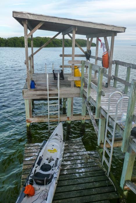
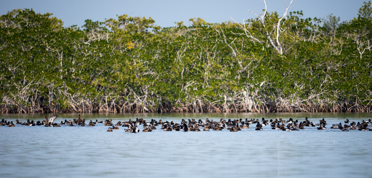
The water was reasonably warm and very clear so I went for a swim before dinner. Afterward I just sat in my chair and took in the vistas. Beautiful place! While I was sitting there saw a Horned Grebe fishing for his dinner. In the near distance I could hear and see yet another Bald Eagle.
Day 6
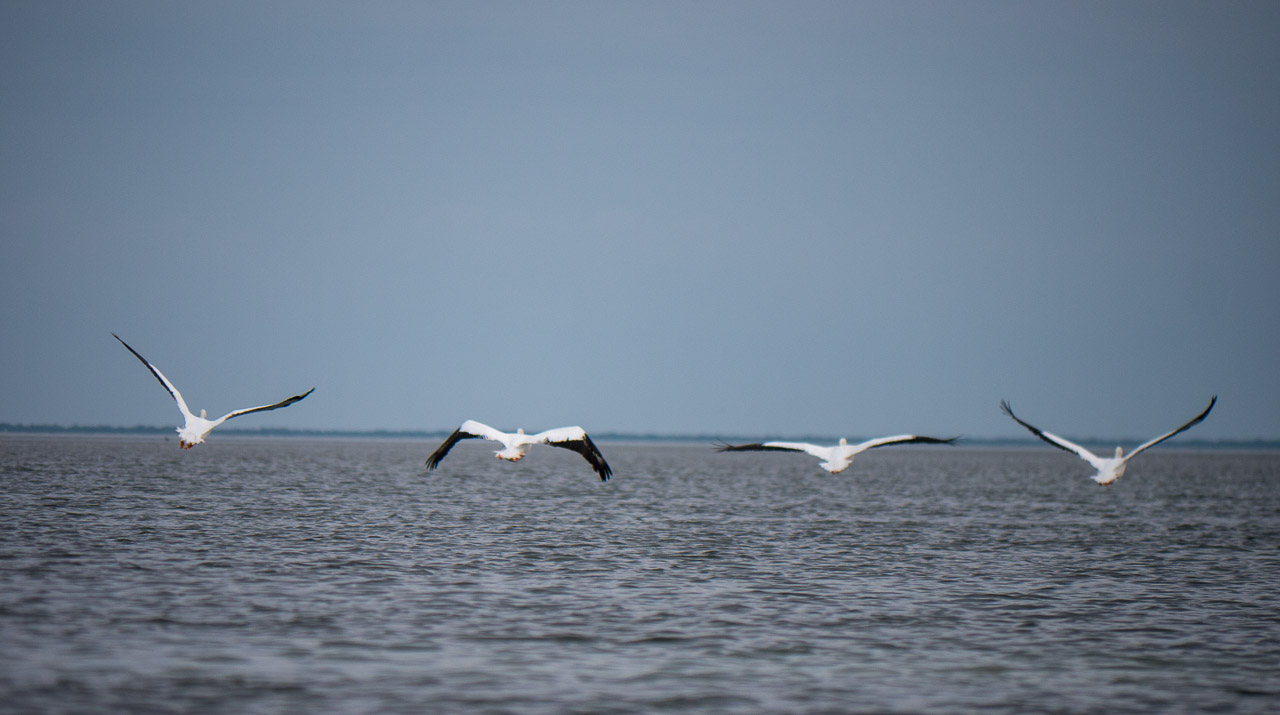
The next morning was spent mostly following a marked channel because everywhere else was too shallow. The floating sea grass kept fouling my drive. There were lots of White Pelicans feeding in small groups all the way across the bay.
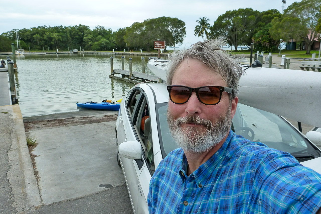
I arrived back at the Flamingo marina but now on the low side of the dam. A easy finish to a great trip!
Below is a quick-and-dirty photo gallery. See my Everglades Wilderness Guide for more trips, maps, & photographs.
(click any image to view or advance)



















- [note1] The Buttonwood Canal was dug sometime in the 1920s as a more direct access for fishermen to Whitewater Bay. This artificial connection contaminated the Bay with saltwater, ruining the ecology, and killing important nurseries for young fish. Six decades later the problem was finally addressed and a dam was built in the early 1980s. Reference
- [note2] Larry went with me in 2014 (a very eventful and challenging trip!). He decided to come back with his fishing boat and we just happened to bump into each other at the ranger station in 2015!
- [note3] No-See-Ums (biting midges) are endemic to the Everglades. However—based on my experience they are more of a problem now than they were two decades ago. I assume this is just one of the many side-effects of Global Warming. When they are bad they are nearly unstoppable. Fortunately they are so light-weight that they blow away in a light breeze. But when the night turns calm—beware!