Home
Day 0
Day 1
Day 2
Day 3
Day 4
Day 5
Day 6
Day 7
Day 8
Maps
Photos
Everglades Canoe Trip ![]() January 2004
January 2004
Coot Bay to Lane Bay
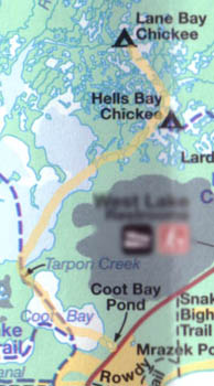
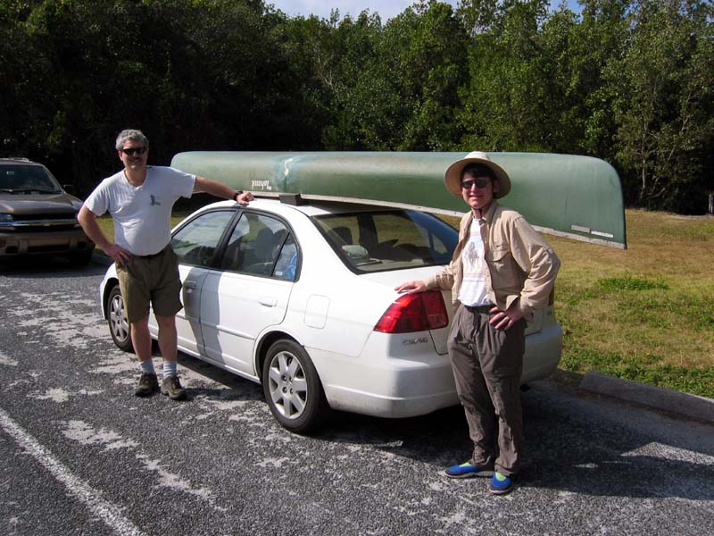
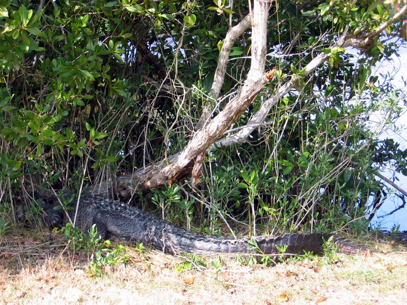
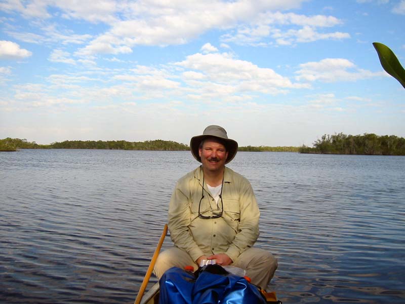
Our route purposely began with a short day. This gave us the morning to drive down to Flamingo from Naples. There was a six foot gator waiting for us at the Coot Bay Pond put in. We got there a bit after noon and were on the water by 1pm.
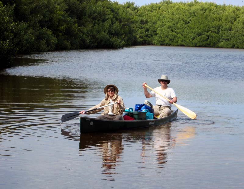
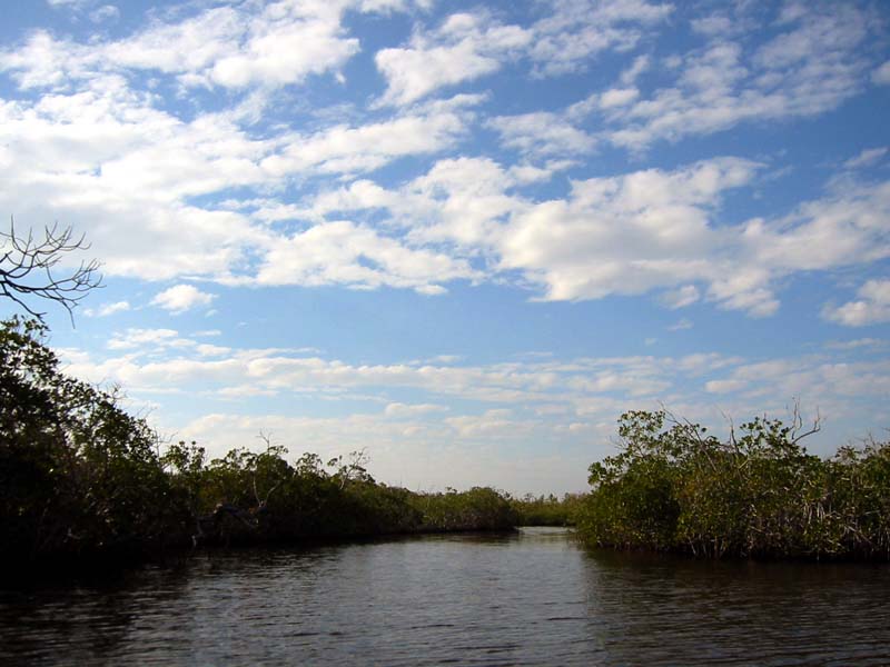
Coot Bay lived up to its name, we saw great flocks of the birds here and none elsewhere. The southerly wind made it easy to paddle up into Whitewater Bay. We proceeded along the eastern most extention of the bay until we found the East River (a creek really). From there we entered Hells Bay. We struggled a bit reconciling the topography with the map; the area is complex of small inlets, islets, and creeks. Easy to get lost!
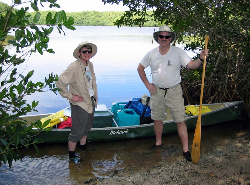
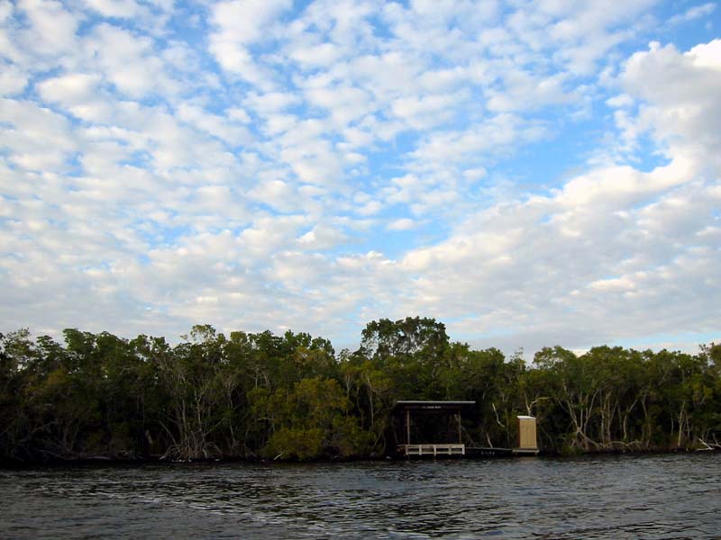
We passed the Hells Bay Chickee and proceeded up to Lane Bay.
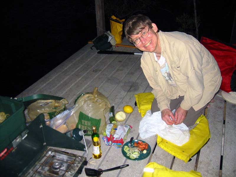
We got to the Lane Bay Chickee as the sun was setting. We had a
quick dinner and then retired to the tent as wind fell and the bugs descended.
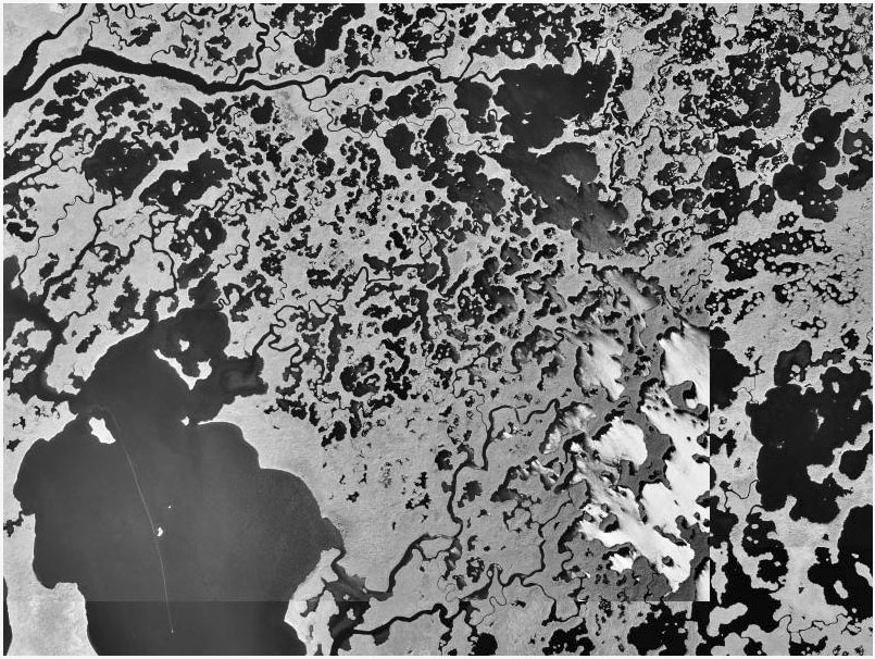
This USGS aerial photograph shows the area surrounding Hells Bay and Lane Bay. The East River is near the bottom. The Lane River is near the top.
Day 1