Home
Day 0
Day 1
Day 2
Day 3
Day 4
Day 5
Day 6
Day 7
Day 8
Maps
Photos
Everglades Canoe Trip ![]() January 2004
January 2004
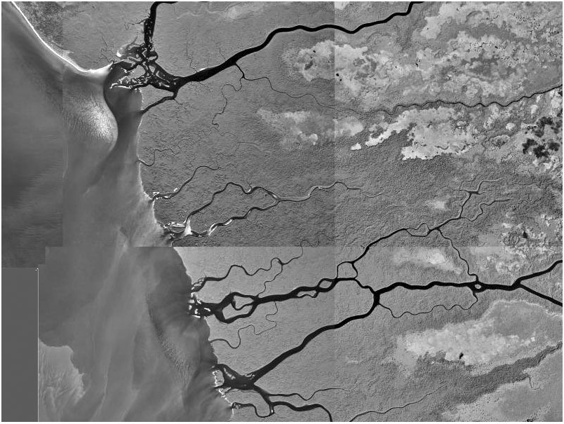
Harney River to Rodger's Bay
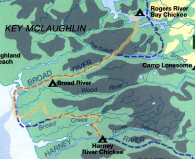
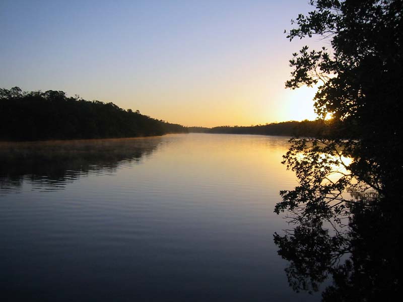
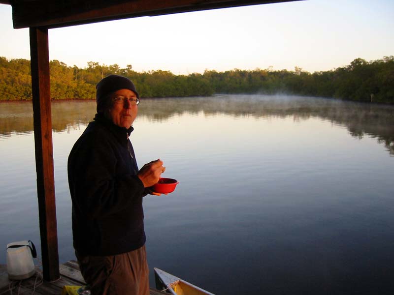
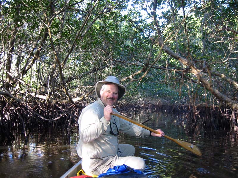
The morning was misty and cool. We left before 8am and headed north toward The Nightmare knowing we might not make it. The tide was going out as we negotiated the mangrove thickets of Broad Creek. Unlike the 2001 trip, we ran out of water before we could get through. This was no big deal, we simply diverted a mile or so down to the gulf.
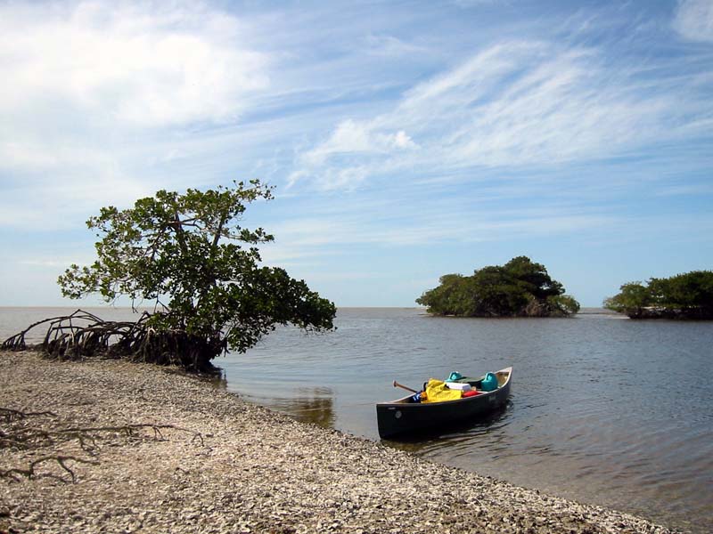
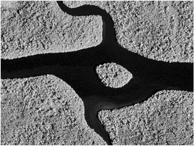
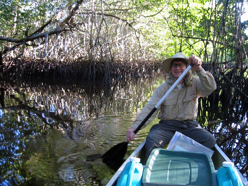
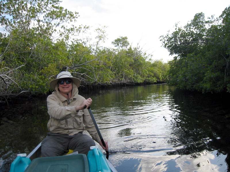
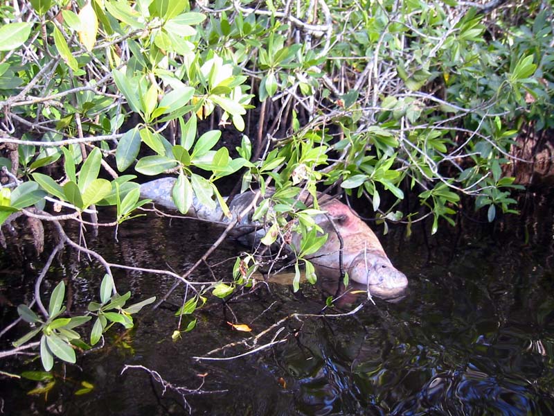
It turned out to be a beautiful day to paddle amoung the mangrove shoals and river entrances. We had our siesta on an oyster bed while we waited for the Broad River to reverse its flow. We then had a long, easy trip up river until we entered the No Name Creek leading to Roger's Bay. The creek was pleasant, winding, and occasionally overgrown; a nice change from the larger river. Near the midpoint we noticed several vultures in trees and then came upon the focus of their interest — a dead manatee. It was a young male, ghostly white, and laying on its side. There was no obvious trauma. (We later reported it to the park rangers.)
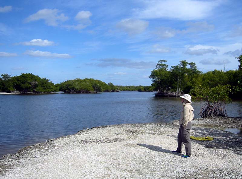
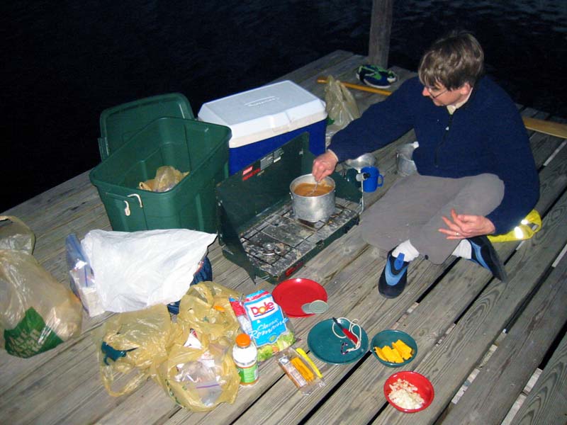
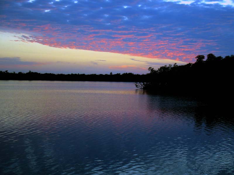
The balance of the journey was uneventful, and we arrived at the Roger's Bay Chickee about 4:30pm. (Note: The chickee is about one half mile further west than shown on most maps.) This is a double chickee and it felt good to spread out and actually walk more than ten feet at a time! There was a bit of color in the sky as we made dinner and pitched the tent. A pleasant conclusion to our longest day (approximately 20 miles).
Day 4