Home
Day 0
Day 1
Day 2
Day 3
Day 4
Day 5
Day 6
Day 7
Day 8
Maps
Photos
Everglades Canoe Trip ![]() January 2004
January 2004
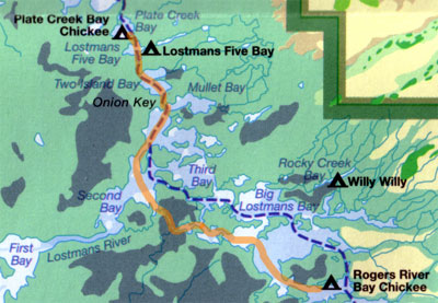
Rodger's Bay to Plate Creek
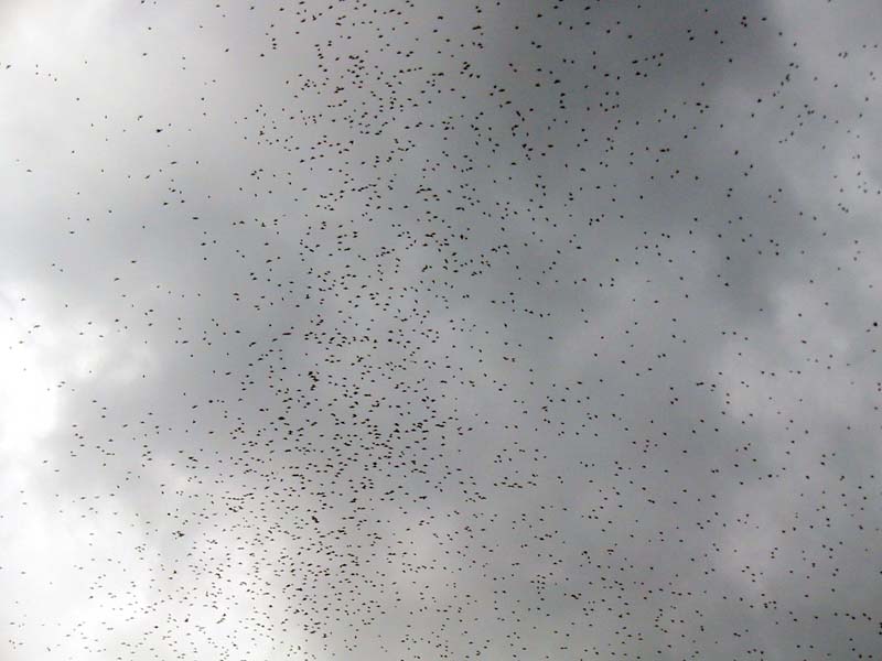
It was cloudy when we got up so there was no real sunrise. We decided to stay south of the marked waterway and explore the upper half of Toms Creek leading into Second Bay and Lostmans River. On our way there we were overtaken by thousands of tree swallows. (Remarkably we saw a similar congregation in this area during our 2000 trip.) This time the birds were all around us and directly overhead. Suddenly we noticed that it was raining small dark pellets of guano!
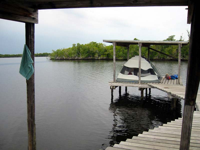
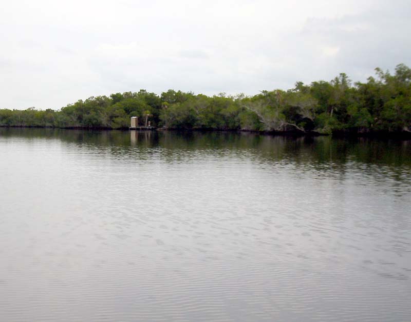
The remainder of the day was uneventful. We passed the Lostmans Five Campsite and got to the Plate Creek Chickee by mid-afternoon. This chickee is showing it's age, and unfortunately there was obvious garbage in the water. We both took bucket baths on the dock rather than going in swimming as we had in the past.
That evening, just at dusk the wind picked up and it started to rain. Before we knew it we were in a full blown storm. The roof on the chickee was little protection because the wind drove the rain sideways. We quickly put on the rain fly but by then the wind was strong enough the flatten the tent to a significant degree. The solution was to tie the fly directly to the chickee uprights so we wouldn't have the test wall in our faces all night. Once we were bedded down, we stayed dry and warm in spite of the weather.
Day 5