Home
Day 0
Day 1
Day 2
Day 3
Day 4
Day 5
Day 6
Day 7
Day 8
Maps
Photos
Everglades Canoe Trip ![]() January 2004
January 2004
Sweetwater to Pavilion Key
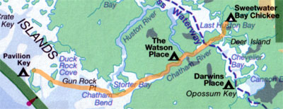
Our last full day began with gray skies but thankfully no rain. After packing up we explored the small streams and ponds above the chickee. The water was crystal clear and we saw what appeared to be limestone outcrops on the bottom. There were many mud trails on the banks, but we did not see a single alligator this time round. The foliage was much more overgrown than in 2000, so we did not make it into the upper pond.
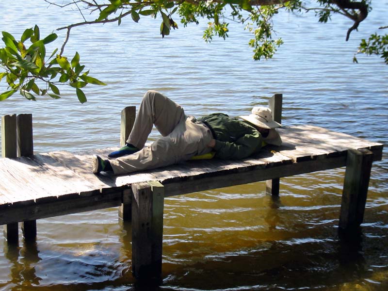
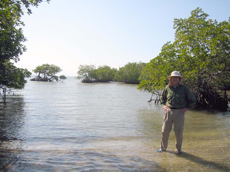
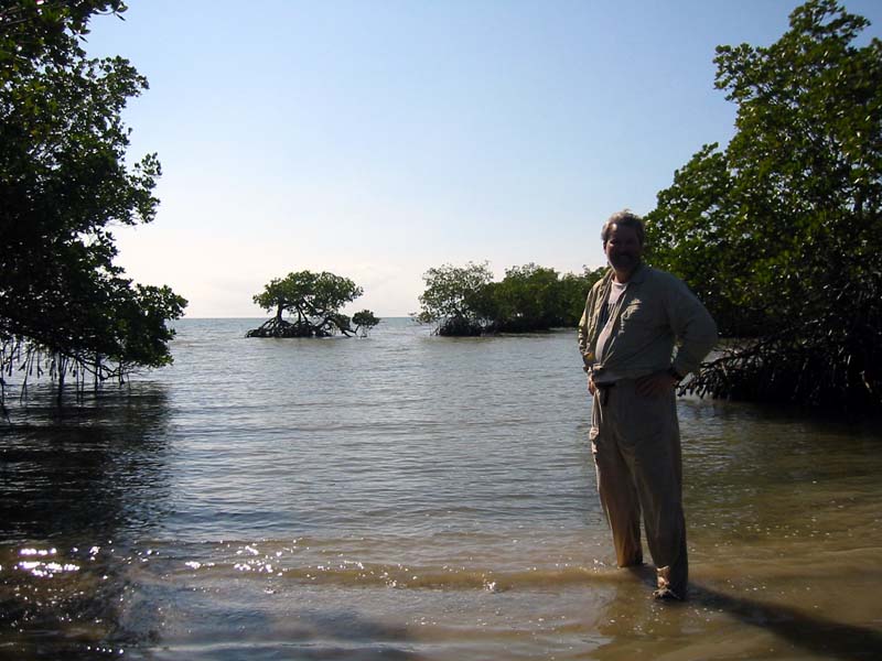
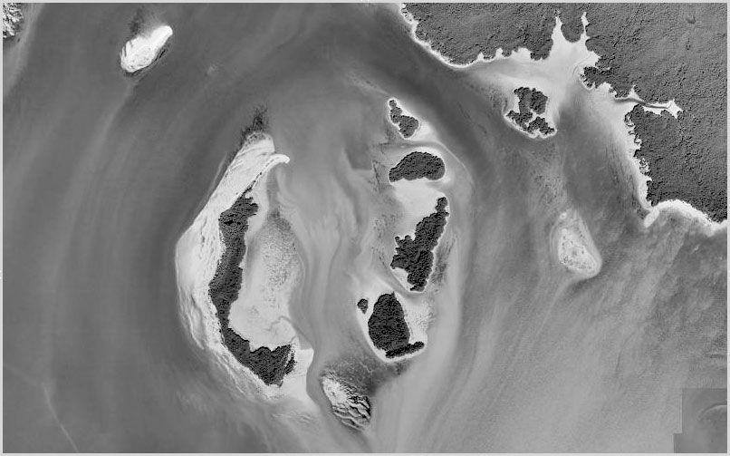
We turned back and paddled down into the upper Chatham River and then on to the Watson Place campsite for lunch. We had a nice siesta there in the shade with a warm breeze keeping the bugs away. At about 1pm the tide was changing in our favor and we headed out. We followed two manatees for about twenty minutes on our way down to the Gulf. One came up for air about fifty feet from our canoe. The river's outflow is surrounded by many small islands with bonsai-like mangroves. Unlike the 2001 trip, we had an easy time passing into the Gulf going with the tide.
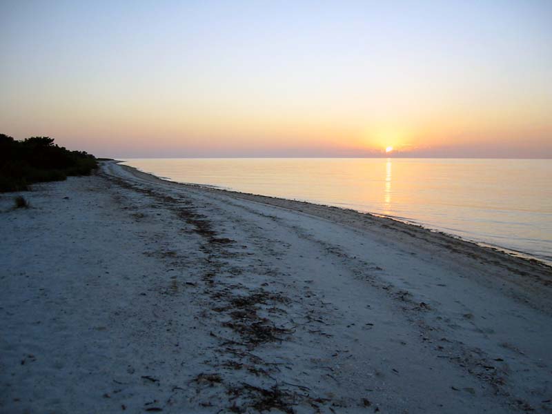
We had a steady crosswind as we made our way out to Pavilion Key. A party of two sail canoes was on the northern point when we came, but they hoisted their sails and headed around to the southern end to camp. We pitched our tent in the usual place to take advantage of the breeze. Unfortunately, it died well before sunset and the noseeums became uninvited dinner guests. We hit the tent early and listened to the raccoons poking around the tent. We both got up briefly to admire the stars after the moon had set. Unfortunately, the dew began dripping inside the tent. We were quite damp by morning. I'll remember to use the fly on the next go round.
Day 7