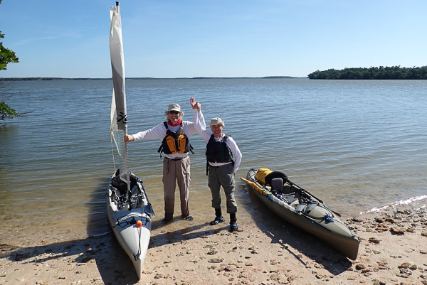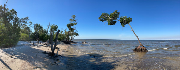
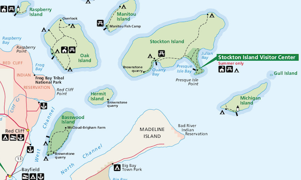
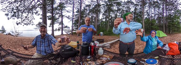
We recently went for a quick trip to Stockton Island in my friend’s new boat. Stockton has the huge advantage of partially sheltered bays with places to tie up the boat. [Full Gallery]
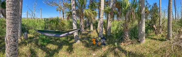
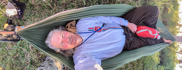
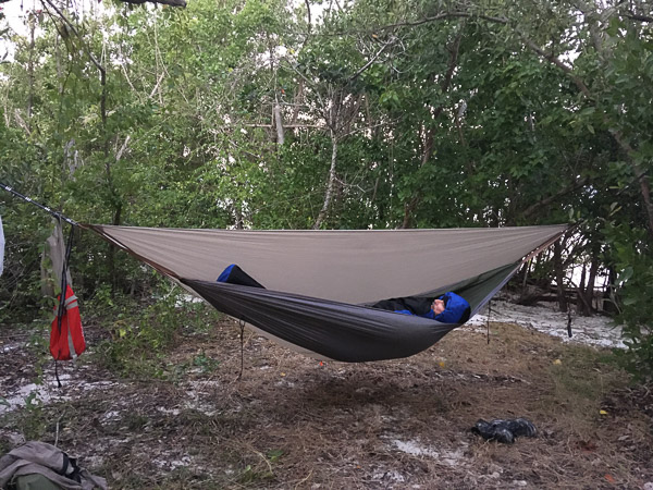
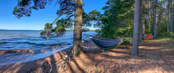
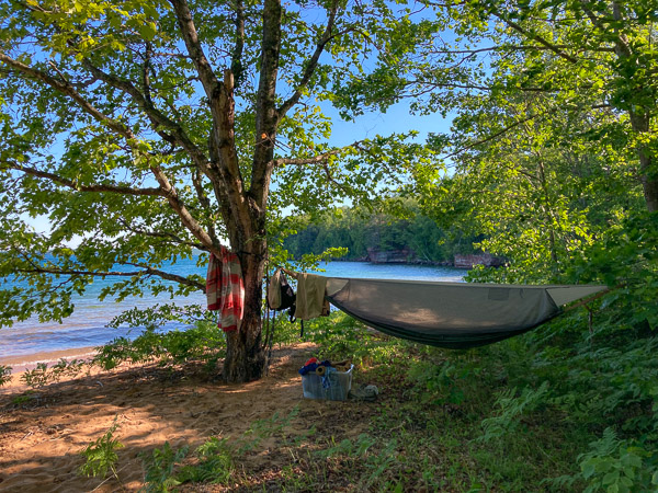
We made an amphibious landing to offload our gear and then moored the boat about a mile away at the pier (seen in the distance above). I pitched my hammock tent right on the beach between mature white and red pines. The level of Lake Superior had recently gone down so there was a more normal amount of beach exposed.
The highlight of this trip came early, as we took a short walk away from the visitors center and came upon this magnificent orchid, the Pink Lady’s Slipper!
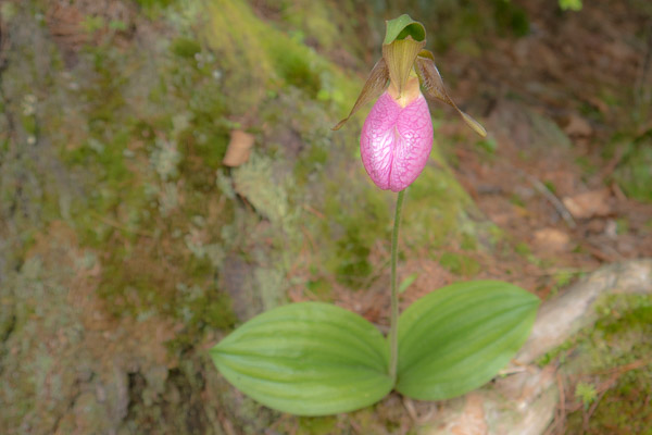
“In order to survive and reproduce, Pink Lady’s Slipper interacts with a fungus in the soil. Generally, orchid seeds do not have food supplies inside them… The lady’s slipper seeds require threads of fungus to break open and attach to the seed. The fungus will pass on food and nutrients. When the lady’s slipper plant is older… the fungus will extract nutrients from its roots. This mutually beneficial relationship between the orchid and the fungus is known as “symbiosis” and is typical of almost all orchid species.
Pink lady’s slipper takes many years to go from seed to mature plants. Pink lady’s slippers can live to be twenty years old or more…”
www.fs.fed.us
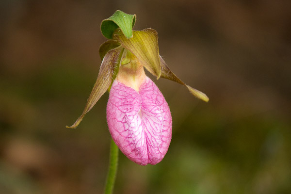
“These plants require bees for pollination. Bees are lured into the flower pouch through the front slit, attracted by the flower’s bright color and sweet scent. Once inside, the bees find no reward, and discover that they are trapped, with only one point of escape. Inside the pouch, there are hairs that lead to a pair of exit openings, one beneath each pollen mass. The bee must pass under the stigma, so if it bears any pollen from a visit to another flower, it will be deposited before picking up a fresh load on the way out.”
There is a reason I’ve never seen one of these flowers before—June is bug season in the north woods. Campers avoid that month. For this trip the breeze from the lake kept the bugs at bay on the beach, but they were pretty aggressive back in the woods.
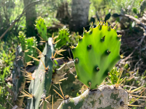
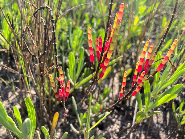
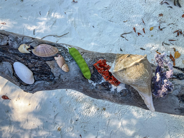
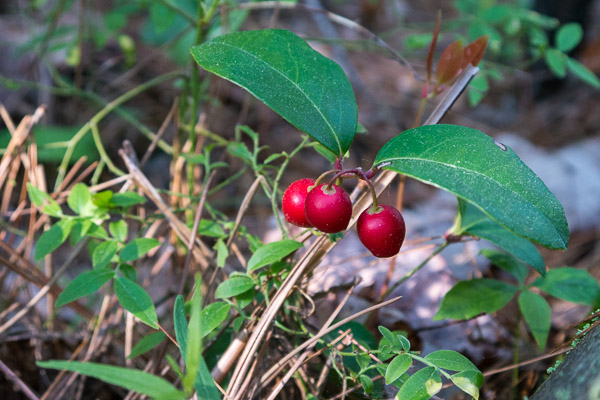
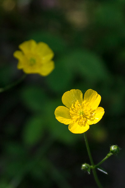
There were other plants in bloom but it was obviously the end of the season for most…
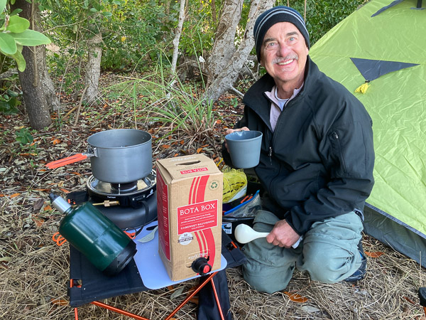
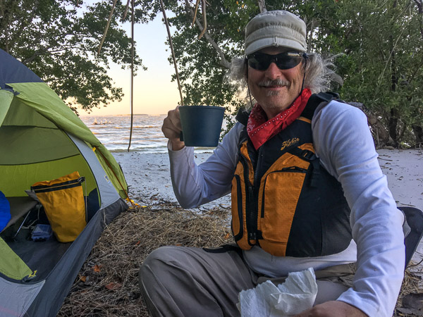
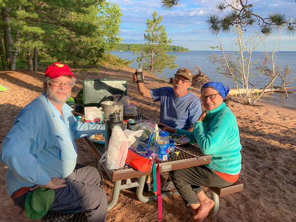
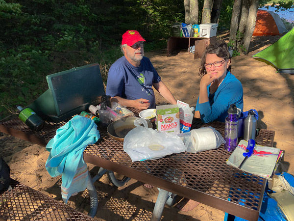
The nearby campsites were empty so we had a pleasant evening of good food, good drink, & good company!
For our second day we moved around the corner to Quarry Bay near the site of an old brownstone quarry.
Note the bear locker in the photo above. Much easier than putting the food up in a tree!
I pitched my hammock lower and more securely because thunderstorms were predicted (and came) during the night.
We visited the quarry, which is very impressive but hard to photograph through the trees.
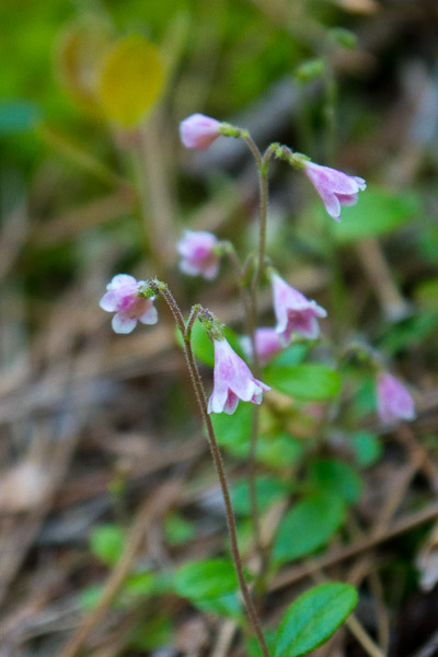
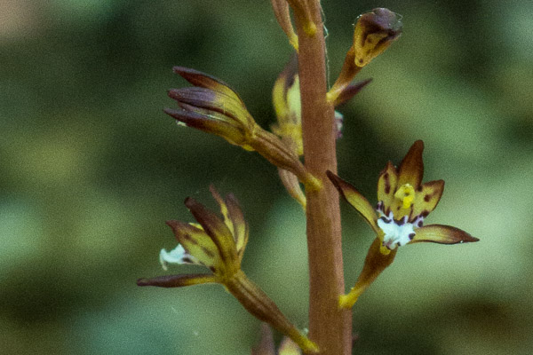
I found another tiny orchid along the trail…
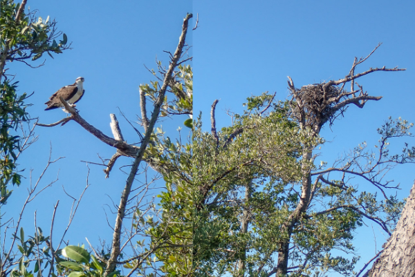
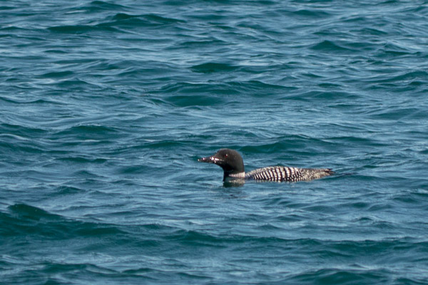
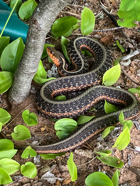
We also saw some critters…
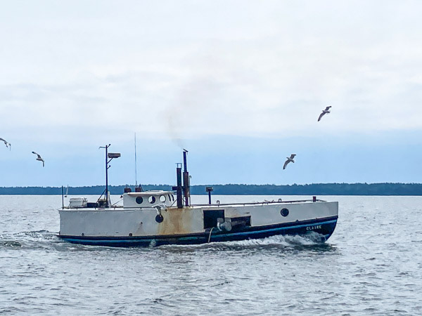
The next day started windy but it abated somewhat as we made our way back to port in Bayfield. We saw a traditional commercial fishing boat along the way.