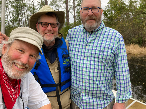
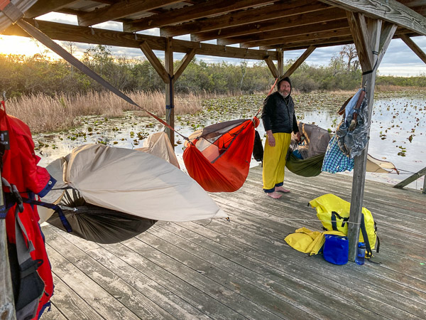
After doing the Green Trail to Bluff Lake and Round Top three years ago—this year we set out to retrace My First Trip in 2004 on the Red Trail and cut back via Floyds Island. My old friend Peter from Minnesota and youngest brother Bruce from Wisconsin joined me. [Gallery]
![Okefenokee Route Map 2024 [source:fws.gov]](http://richard.rathe.org/wp-content/uploads/2024/02/okefenokee-2024-1.jpg)
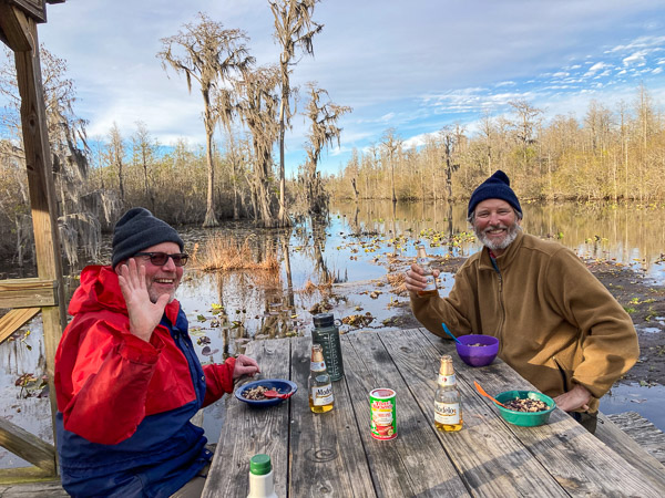
Day 1 – Maul Hammock (12 Miles)
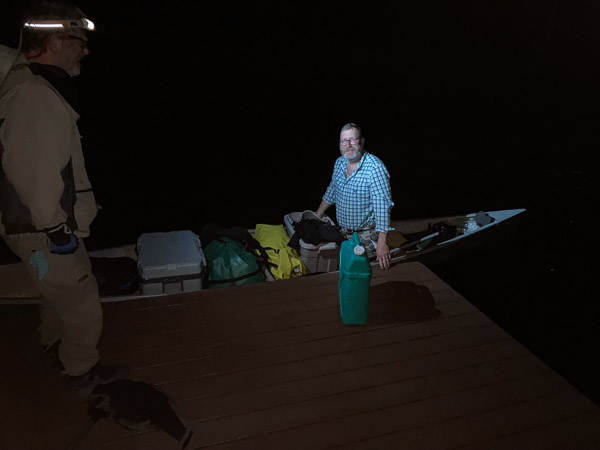
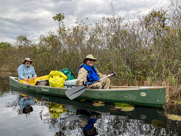
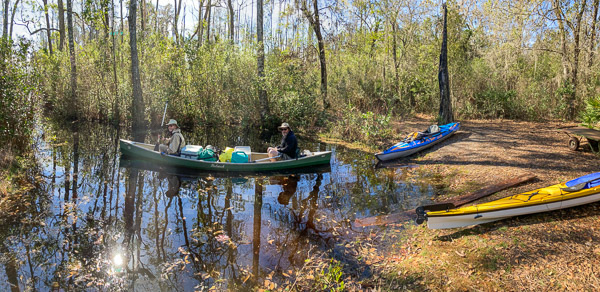
We parked at the Suwannee Canal Entrance and got shuttled up to Kingfisher Landing. Since there were three of us I used my Inflatable Kayak for the first time on an overnight trip.
We got started in the late AM knowing there would be weather blowing in by nightfall. It rained lightly in the afternoon and then poured for about an hour. We got to the Maul Hammock Chickee an hour before dark.
It became very windy but fortunately most of the rain was over. We had a raucous night with the rainflies flapping in the gusts over 25mph! Amazingly, nothing broke and nothing blew away that we couldn’t retrieve!
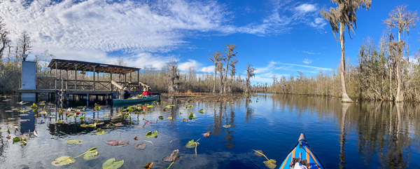
Day 2 – Big Water (~10 Miles)
The second day was much easier—shorter by about two miles and paddling with the current. (This is the actual start of the Suwannee River that flows to the Gulf of Mexico.) The trail narrows as it crosses one or more “sills” that divide up the wetlands.
We made it to the Big Water Chickee without much difficulty and had a leisurely dinner of beans, rice, and beer!
It was a cold night (38°) but much less windy.
Day 3 – Floyds Island (~9 Miles)
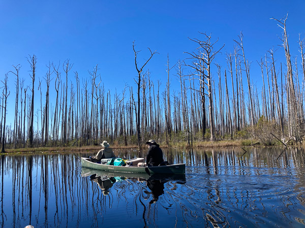
The next day was new territory for all of us. Just below Big Water we passed through an area that burned in the early 2000s—acres and acres of standing dead cypress trees. While this was sad to see, the swamp does go through periodic droughts and fire is a part of the ecology. [Fire Map]
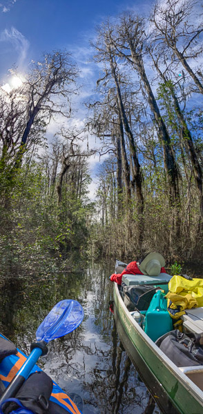
We turned onto the Green Trail and paddled against a slight current up a narrow (but very pleasant) trail through the cypress. This ended at an embankment and higher ground covered with large pines, oaks, and magnolia trees.
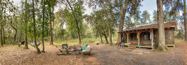
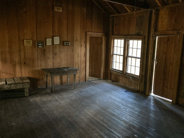
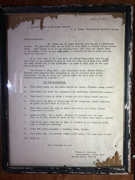
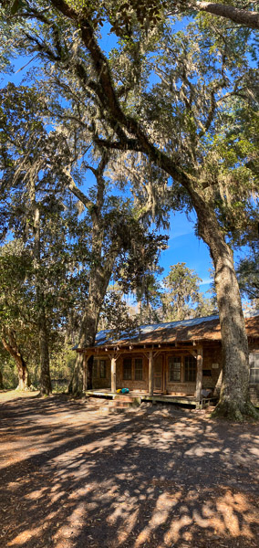
The campsite sits in front of a three-room cabin built about a hundred years ago. It is flanked by two huge oak trees, one of which is encroaching on the porch. There are several moldering documents on the wall (one of which is reproduced here). There is also a fascinating registry book dating back to 2021 completely filled with stories, poems, and drawings.
This article on the Human History of the Okefenokee Swamp makes interesting reading!
Day 4 – Back to the Suwannee Canal (15 Miles)
Our last day began with portaging boats and equipment to the opposite side of the island (0.2 mile). (There is a convenient cart at the site to assist with this!)
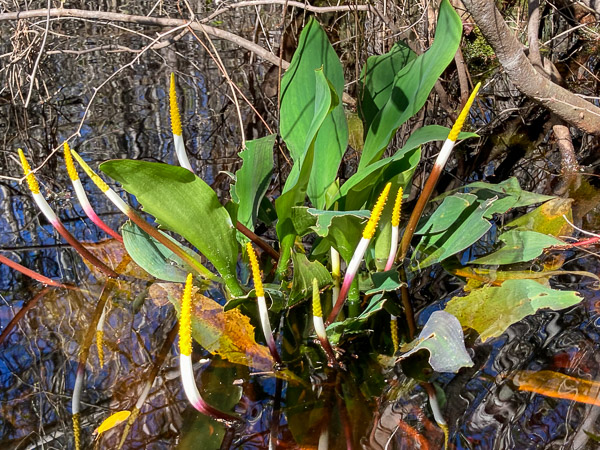
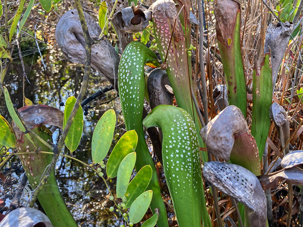
I’ll mention that we saw numerous Pitcher Plants on this trip, most of which were dried and left over from last season.
This was a long day but worth it given the time we had. We pulled into the take-out about an hour after dark. The Suwannee Canal facility is setup for after hours arrivals with an on-demand street light over the boat ramp and an automatic gate to let us out.