White Rim Trail 2018

I recently returned from a backcountry bike trip on the White Rim Trail in Canyonlands National Park near Moab Utah. [Gallery]
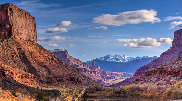
The Back Road to Moab

We were a mixed group of twelve riders with three high ground clearance support vehicles coming after us. We started near the visitor center and camped four nights along the trail.
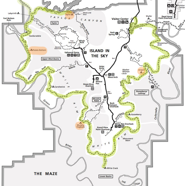
source:nps.gov :: Click to Enlarge

First we headed down the steep Shafer Trail to get onto the White Rim proper.
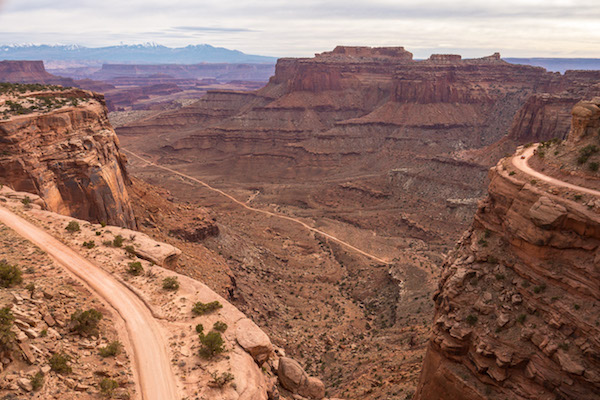
Shafer Trail
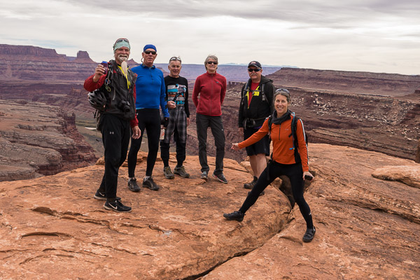
Chuck, Jeff, Rick, Miki, Glenn, & Carol

The “White Rim” is actually a geologic layer that is resistant to weathering as you can see in the aerial photo below.
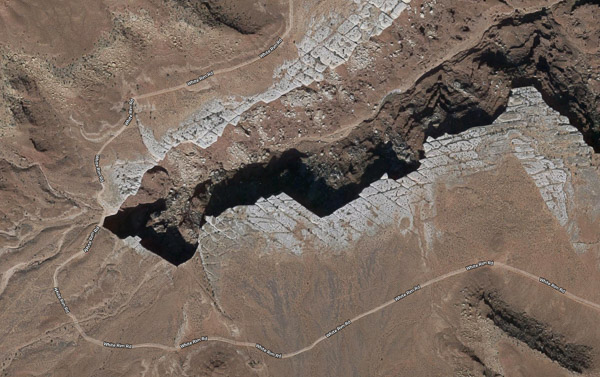
source:google

The first night’s campsite didn’t look like much. There was no soil, only gravel or hard rock.
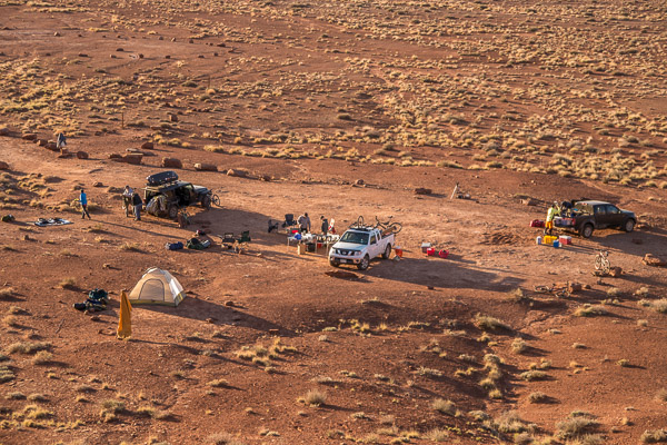
Airport Tower Campsite

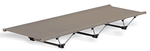
Fortunately I brought a lightweight folding cot and stayed comfortably six inches off the ground!
The next day we saw a group of Desert Bighorn Sheep in the distance. Later this solitary ram walked nearby.
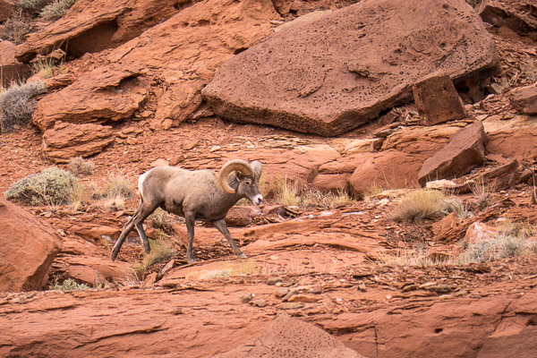
Desert Bighorn

I rented a decent bike for the trip with front and rear suspension and disk brakes. I only took one fall (going too fast through a sandy patch). Going uphill was a bitch! I walked a lot…
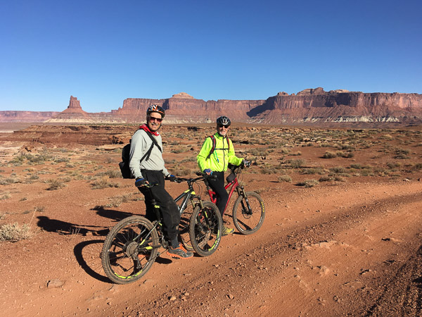
Me with Trip Organizer Bill Sedgeley
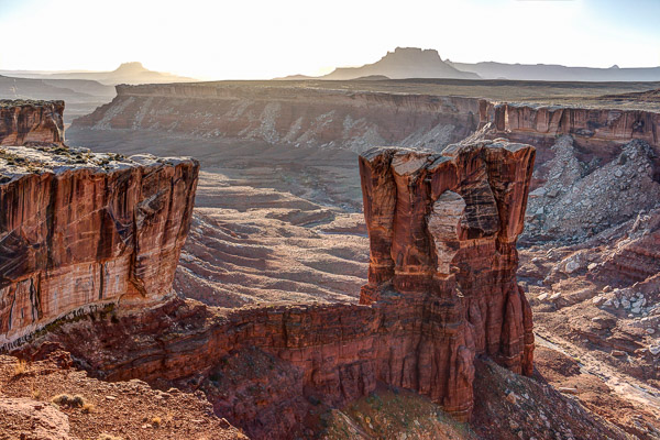
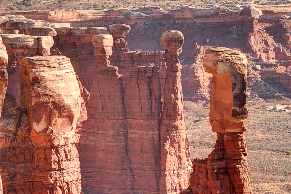
The “John Elway” Rock (#7)

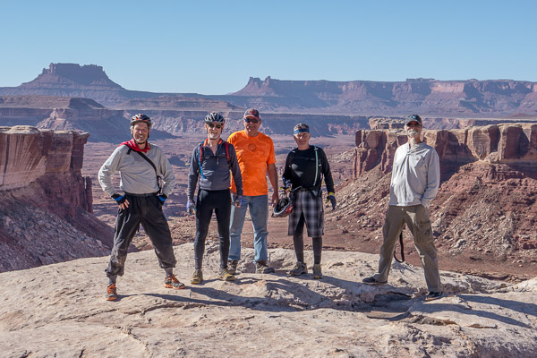
Me, Bill, Glenn, Rick, & Chuck
One of Many Small Arches

We came across many pothole depressions filled with rainwater (aka Ephemeral Pools). Incredibly there are small crustaceans called Tadpole Shrimp living there! They are considered living fossils.
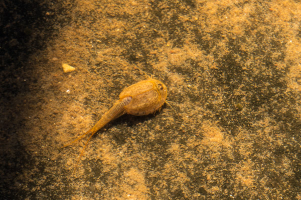
Tadpole Shrimp Living in a Ephemeral Pool

The area is defined by the confluence of the Colorado and Green Rivers. Numerous dry wash valleys lead down to the rivers and contribute to the beauty and complexity of the place.
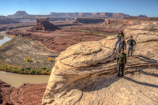
Glenn, Bill, Rick, & Jeff

We took a short side trip down a slot canyon.
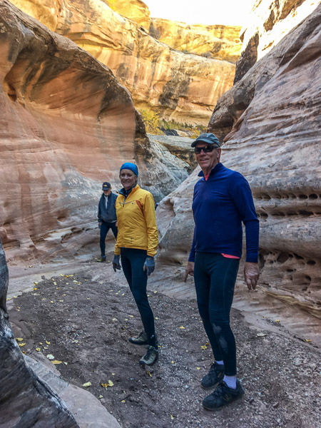
Miki & Jeff in a Slot Canyon

Turning north we came down to the Green River on the third day. The color of the Cottonwood Trees was near its peak. The temp went down into the twenties that night, Brrrr!
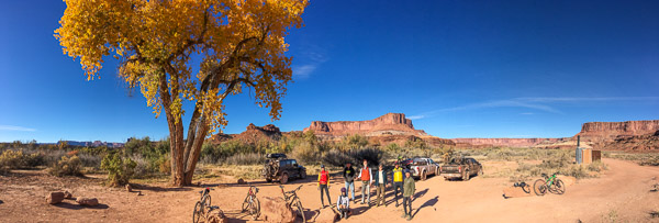
Potato Bottom Campsite

We took a very interesting side trail to see Anasazi Ruins and an old trapper’s cabin.
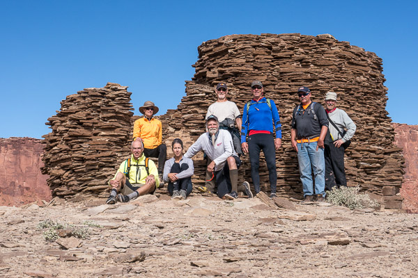
Anasazi Ruins on the Fort Bottom Trail

We spent our last night in the presence of “Moses and Zeus” (interesting pairing!) in Taylor Valley. It is an extremely beautiful place!

Moses & Zeus in Taylor Valley

There just happened to be climbers descending Moses when we got there.
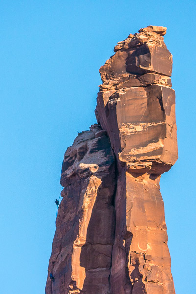
Climbers on Moses

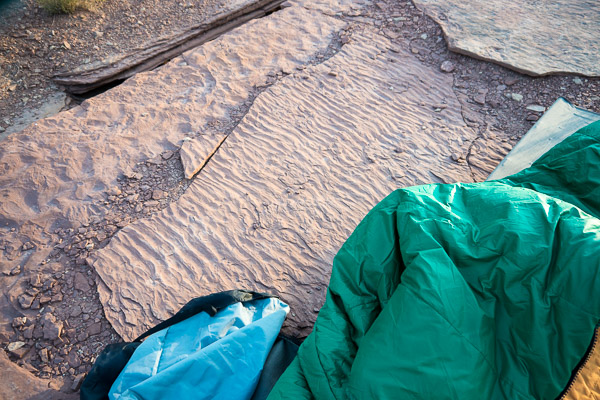
That night I slept on a 220 million year old beach. The Moenkopi Formation is what remains of tropical tidal flats back in the Triassic.
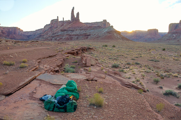
The next day we packed up and headed back down to cycle along the Green River, climbed out of the valley and drove back to civilization. It was a great trip!
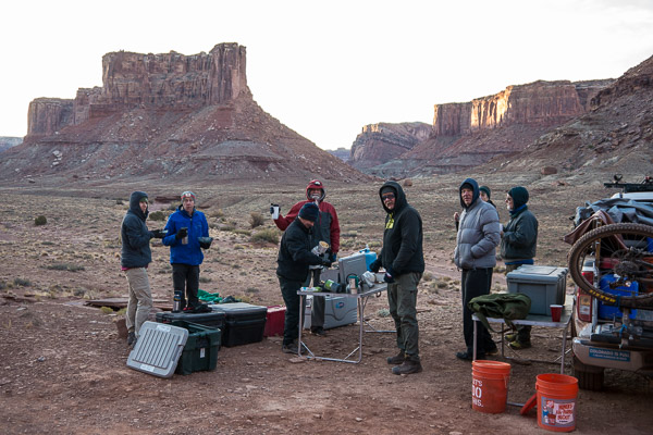
Breakfast at the Taylor Valley Campsite

Photos by Richard Rathe & Rick Hindman

Treatise on Panopainting

Panopainting (verb, noun) – Panoramic photographs captured in real-time with unpredictable, non-deterministic distortions due to movement of the camera (and sometimes the subject). The aesthetic value of these images depends on the camera’s “stitching” algorithm and the physical “brush stroke” performed by the photographer. A degree of “glitching” is expected and often leads to cubist or impressionistic effects. Each exposure is unique due to inevitable variation in subject and technique. [Gallery]

History

Panoramic works of art have been around since early man painted herds of animals on cave walls.

Lascaux Cave – Great Hall of the Bulls [source:pinterest]

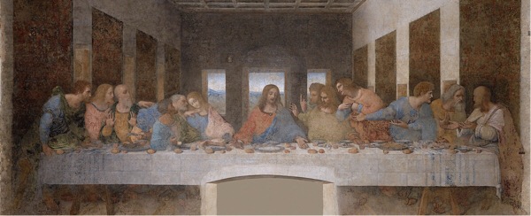
Leonardo da Vinci painted his iconic Last Supper in a panoramic format that appeared to be an extension of the room.

Leonardo da Vinci – The Last Supper [source:wikipedia]

Large-scale painted panoramas (aka cycloramas) of major historic events were popular at the time of the Civil War.

Paul Philippoteaux – Gettysburg Cyclorama [source:fandom]

The earliest photographic multi-image panoramas date from around the same time.

1851 San Francisco by Martin Behrmanx [source:medium]

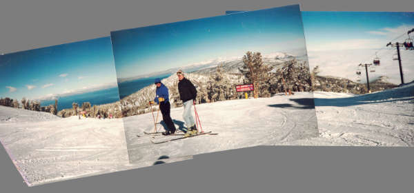
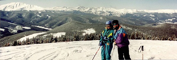
The same technique found its way into modern photo albums…

[source:Diana Pray]

Panographic film cameras were developed and ultimately became inexpensive and disposable.

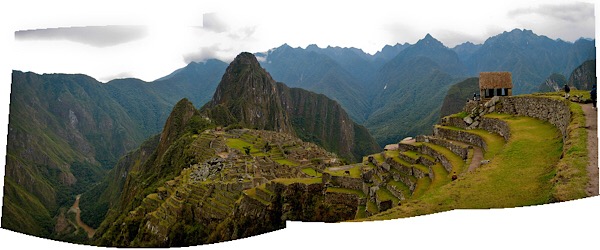
With the digital age came specialized software that could stitch images together into a seamless whole.

Today panoramic photography is as easy as panning your phone!

Happy Discovery

For the first few years I took panoramas in the conventional way—sweeping the phone in a horizontal arc.

Then one day I faced a novel situation. I wanted to take a panoramic photo of colorful cloth on display in a cramped market. There was only six feet between booths. Using an arc would yield very distorted and unpleasing results, so I improvised. I kept the phone steady and walked parallel to the booth.

The resulting image was flat and undistorted (except the woman who moved as I passed).

Ecuador 2013

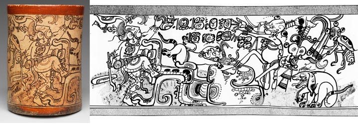
I refer to these images as “roll outs” because they remind me of the flattened images of pottery, etc. seen in journals. Link

Mythological Vase, Maya, Late Classic [source:mmoa]

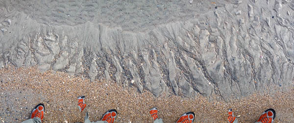
The creative potential of this technique became clear one day when I had some time to experiment on the beach.

The interaction of the moving camera with the surf and my feet created interesting distortions and time lapse sequences. And thus panopainting was born!

Gallery

Here are examples of my best work so far. [Click on each image to see a high res version. More…]

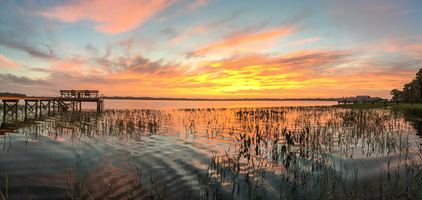
Cellon Oak, Florida
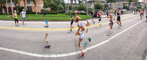
St. Pete Triathlon

I especially like the sense of motion in the runners [detail], while the spectators on the left are totally unaffected!

Bayfield, Wisconsin
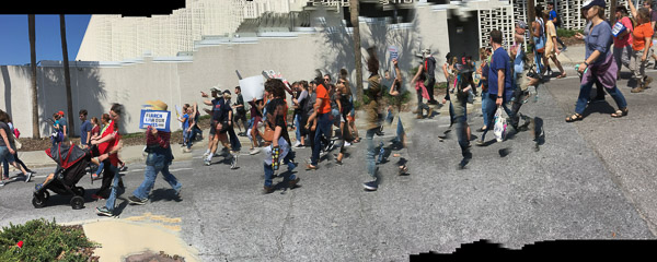
#MarchForOurLives Gainesville, Florida
Park City, Utah
St. Pete Beach
BWCA, Minnesota
Two Harbors, Minnesota

Boundary Waters Canoe Trip 2018

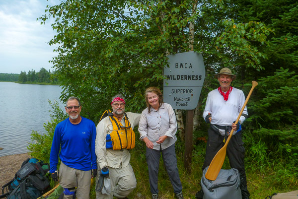
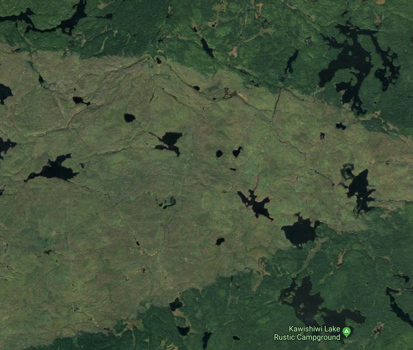
This year I went with Ross’s in-laws Tim and Terese (who are both old BWCA hands). We started on Kawishiwi Lake and proceeded along the Kawishiwi River. [Gallery]

Tim, Ross, Terese, & Me at the Kawishiwi Lake Entry Point

This was a return of sorts to an area we had to evacuate in 2011 due to the Pagami Creek Fire.

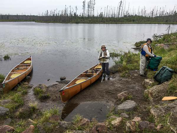
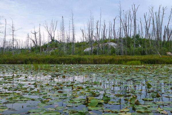
Burned Area from Pagami Fire 2011

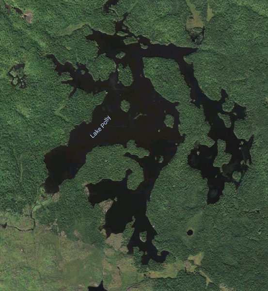
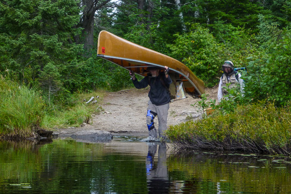
The first day was rainy but we made good progress crossing the beaver dam on the river and then two long portages into  Lake Polly.

Kawishiwi River Portage

Typical Burned Area

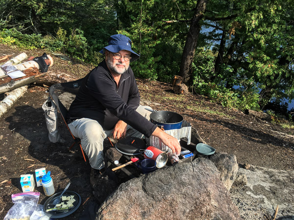
Lake Polly Kitchen

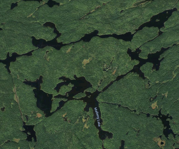
From Polly we proceeded to Lake Malberg with its many angles and bays.

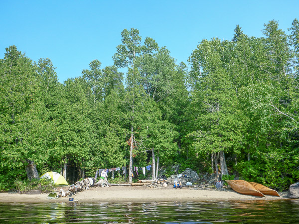
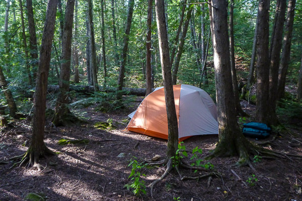
We camped on a small bay with a beach and a dense stand of White Cedar behind.

Lake Malberg

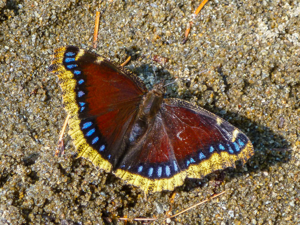
Mourning Cloak Butterfly

Happy Hour!

We took a long day trip from camp making a wide loop through Malberg and the surrounding lakes. After two relaxing days we headed back to the car by the same route we came in on.

A great time was had by all!  Be sure to look at the flora photos and panoramas in the gallery!