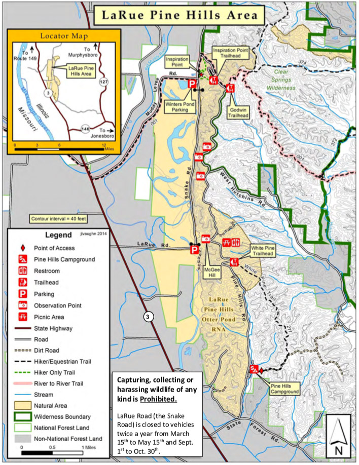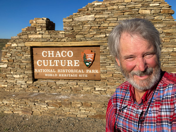
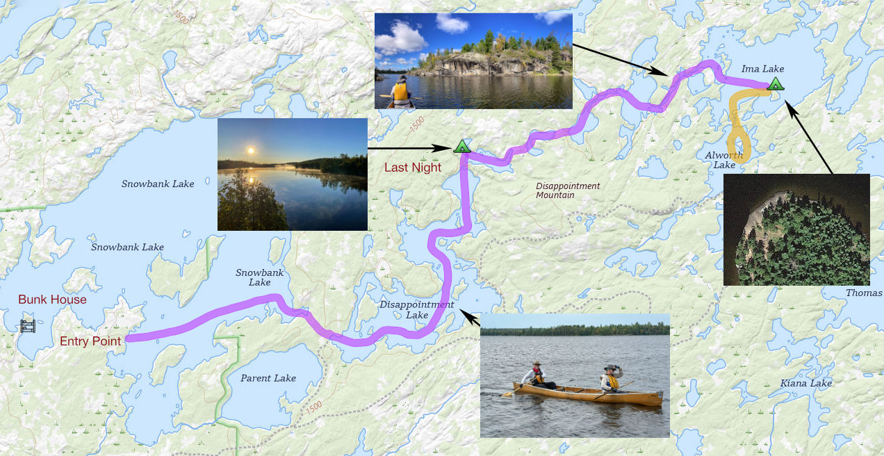
This year we decided to base our trip out of Ely. We spent the night in the bunkhouse on Snowbank Lake. The next day we took the short drive to the official entry point #27 to head out into the wilderness. Complete Photo Gallery
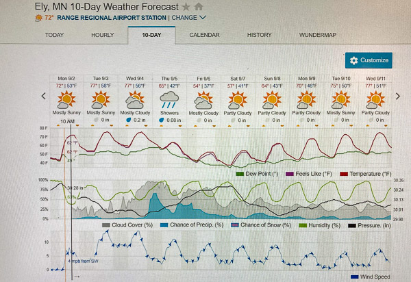
The weather forecast was windy with a dash of rain in the middle. This mostly came to pass with temps dropping near freezing on the final night.
Long First Day
The first portage was the longest at 140 rods (2310 ft, 0.44 mile). There were seven portages in all on the way to Ima Lake. Several of these are very short between small connector lakes.
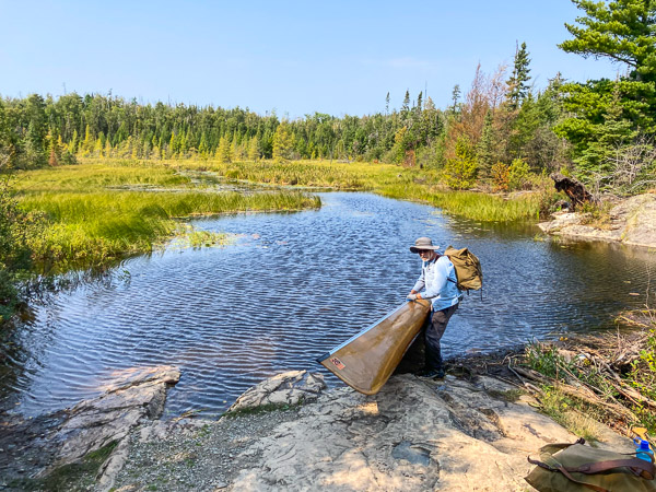
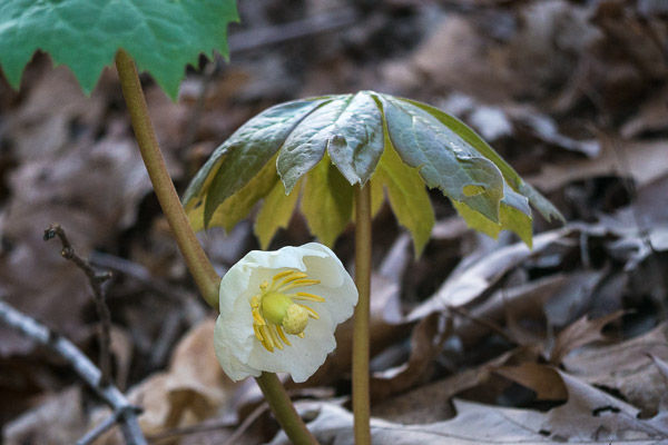
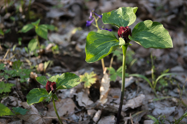
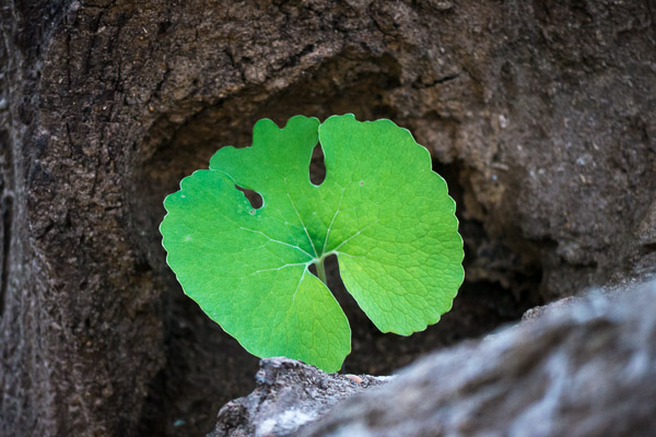
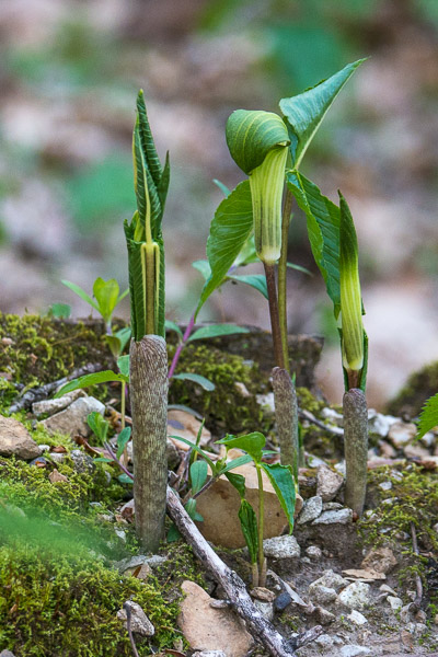
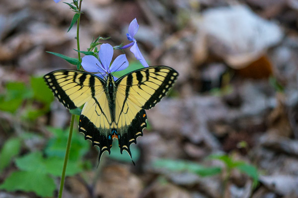
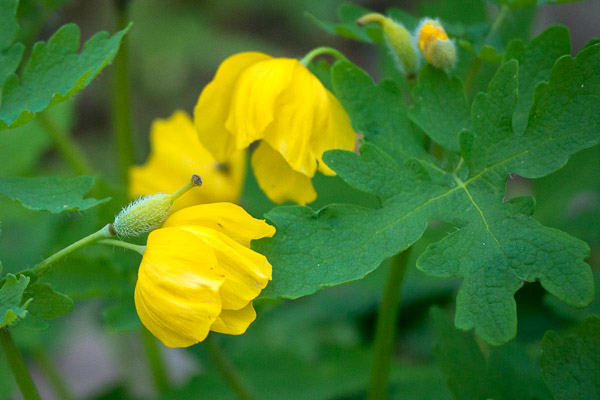
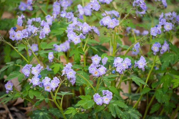
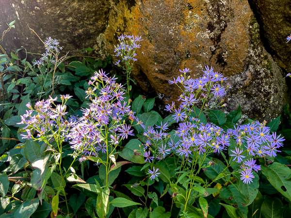
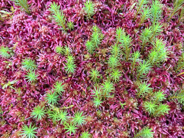
The smaller lakes where part of extensive wetlands with lots of fall flowers, sphagnum moss, tamarack just starting to turn yellow, and even a few spent pitcher plants.
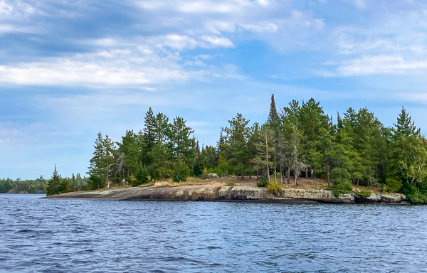
We got to Ima in the late afternoon and proceeded to the large campsite on the north end of the major island. This is fronted by an impressive dome of rock more than 100 yards wide.
I pitched my tent on the windward side and it was (no surprise) very windy. So much so I decided to move before the predicted rain storm rolled in. It was warm enough to sleep with the sleeping bag loosely draped around me. That would change also.
Settling In
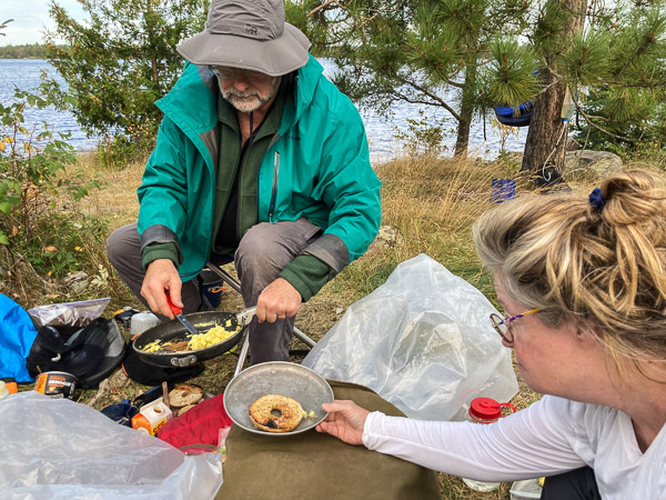
The next day we started out with a hot breakfast of bagels an eggs. Most of our cooking took place behind a large rock to keep the stoves out of the wind.
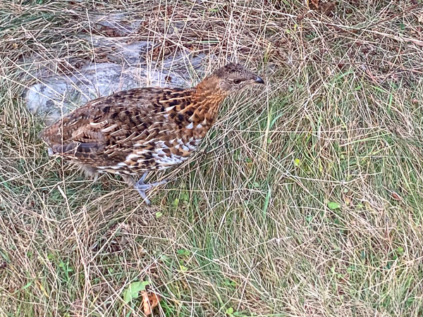
In the afternoon we had nine Spruce Grouse wander through our camp. We think it was a hen with her nearly-grown brood.
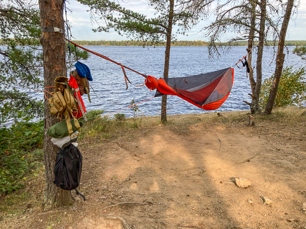
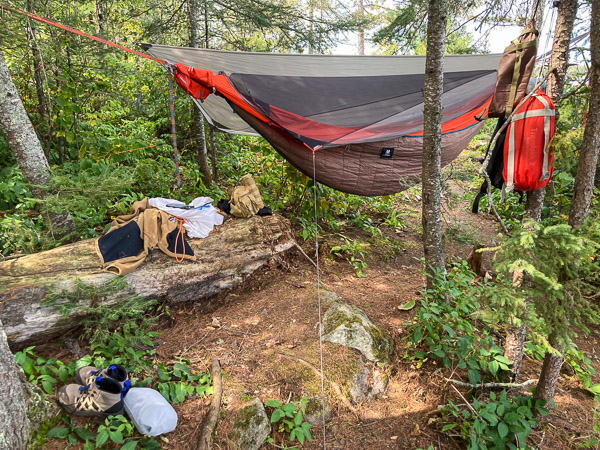
The second hammock site was a bit of a challenge, but a real confirmation of how flexible hammock camping can be. I was pitched over a fallen log and a large rock! It turned out to be a perfect place to weather the storm that blew in overnight! (The rain fly is folded back in this photo. The brown fabric is an inexpensive underquilt I brought to help keep out the cold.)
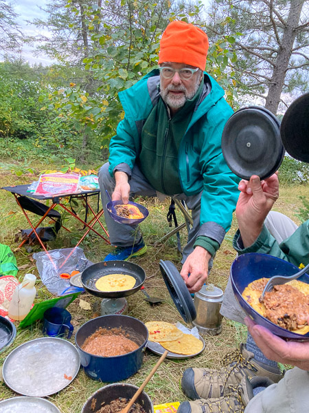
The rain ended and the temperature started to drop as the wind shifted to the northeast. It was not a good day to go out in the canoes so we mostly hung out, read our books, and napped. In the evening we hunkered down in a sheltered spot and had an excellent taco dinner.
Side Trip
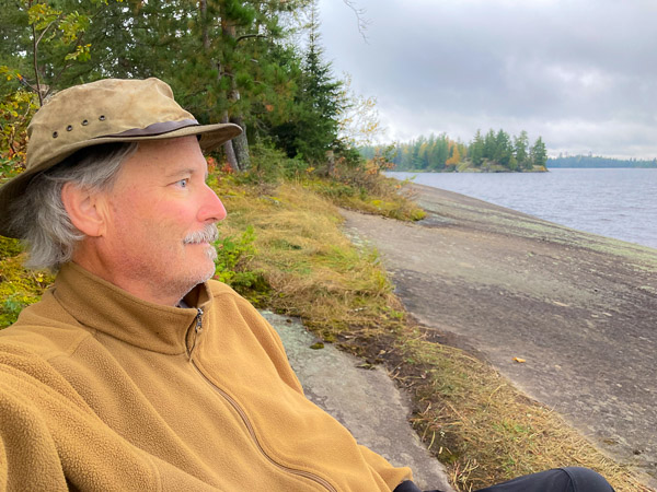
On the fourth day the wind dropped off and we went on a day trip south to Alworth Lake. There is a nice campsite just off the portage in a grove of large white pines. It faces south and has a nice view through the trees.
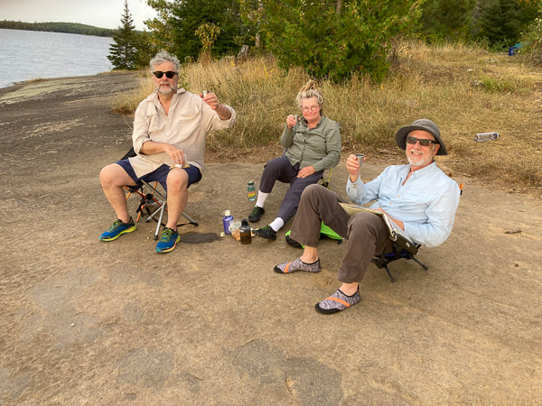
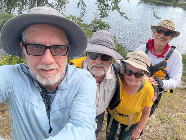
There is also a nice, but rarely used campsite on a small island. We stopped there for a snack and took this group photo.
Starting Back
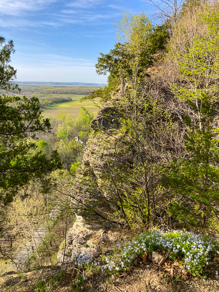
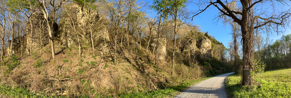
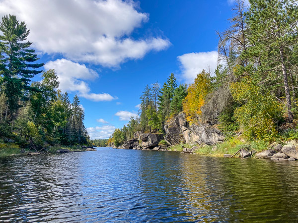
We decided to move camp for the last night to get some of the portaging out of the way. We retraced our path through this narrows (part of Lake Jordan) with several interesting cliffs.
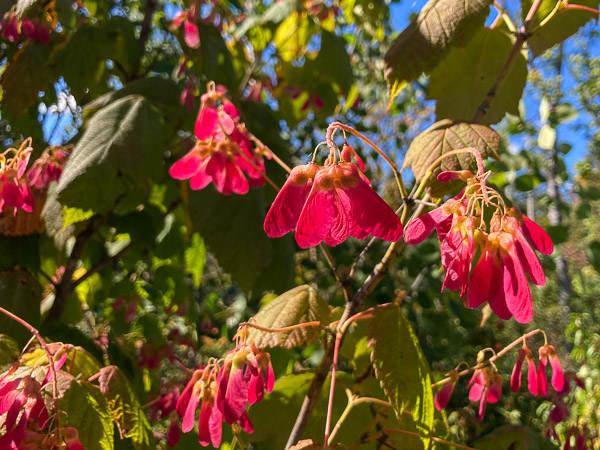
Our initial goal was a campsite with a beach on Jordan, but it was occupied so we kept going. We ended up at a high, “compact” site on Lake Ahsub. It’s on the side of a rock outcrop with several unusual tree species, including this maple, cherry, and mountain ash.
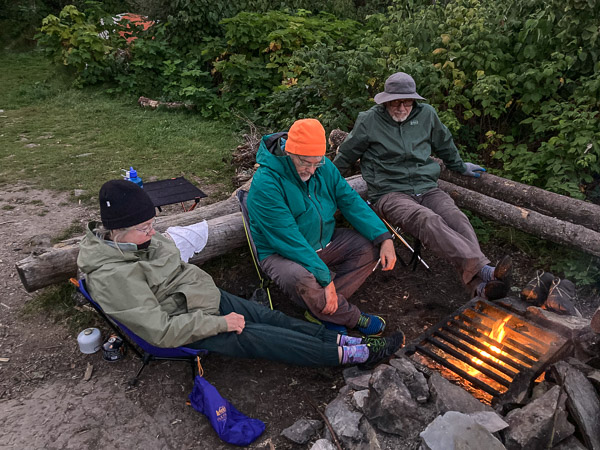
For the first time on this trip the wind died down so we could have a fire. It was also clear and cold! We think it touched freezing by morning.